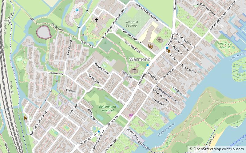
Warmond, Leiden
Map

Map

Facts and practical information
Warmond is a village and former municipality in the western Netherlands, north of Leiden in the province of South Holland. The municipality covered an area of 14.42 km² of which 4.42 km² is water, and had a population of 4,977 in 2004. Together with Sassenheim and Voorhout, it became part of the Teylingen municipality on 1 January 2006. Warmond is located in an area called the "Dune and Bulb Region", and is notable for being extremely affluent. ()
Day trips
Warmond – popular in the area (distance from the attraction)
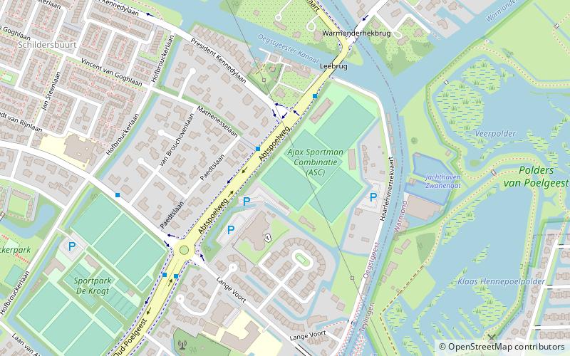
Nearby attractions include: Oud Poelgeest, Hoop Doet Leven, Sportpark Hofbrouckerlaan, Kagerzoom Driving Range.
Frequently Asked Questions (FAQ)
How to get to Warmond by public transport?
The nearest stations to Warmond:
Bus
Bus
- Baan • Lines: 50 (3 min walk)
- Sweilandstraat • Lines: 50 (6 min walk)


