Willemsbrug, Rotterdam
Map
Gallery
Facts and practical information
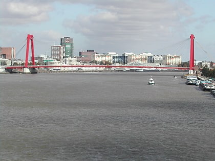
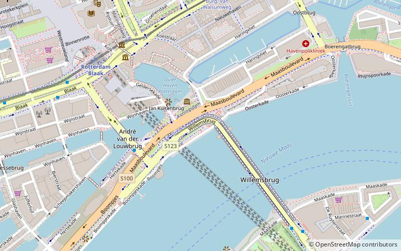
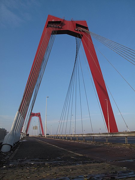
The Willemsbrug is a bridge next to the Erasmusbrug in the centre of Rotterdam, Netherlands, spanning the Nieuwe Maas. It links the northern part of the city with the Noordereiland and the district of Feijenoord. ()
Day trips
Willemsbrug – popular in the area (distance from the attraction)
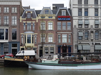
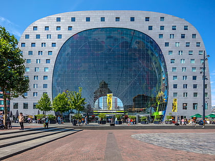
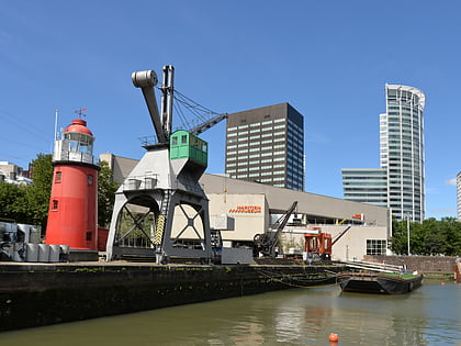
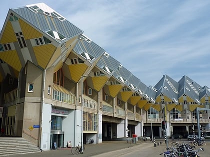
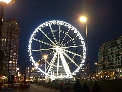
Nearby attractions include: Marine Corps Museum, Market Hall, Statue of Erasmus, Maritiem Museum.
Frequently Asked Questions (FAQ)
Which popular attractions are close to Willemsbrug?
Nearby attractions include Witte Huis, Rotterdam (3 min walk), Marine Corps Museum, Rotterdam (3 min walk), Station Rotterdam Blaak, Rotterdam (5 min walk), The Red Apple, Rotterdam (6 min walk).
How to get to Willemsbrug by public transport?
The nearest stations to Willemsbrug:
Bus
Tram
Metro
Ferry
Train
Bus
- Willemswerf • Lines: 32 (4 min walk)
- Willemsbrug • Lines: 32 (7 min walk)
Tram
- Blaak • Lines: 21, 24 (6 min walk)
- Burg. Van Walsumweg • Lines: 21, 24 (7 min walk)
Metro
- Blaak • Lines: A, B, C (6 min walk)
- Oostplein • Lines: A, B, C (10 min walk)
Ferry
- Rotterdam, Erasmusbrug • Lines: 20, 201, 202 (21 min walk)
Train
- Rotterdam Zuid (30 min walk)
- Rotterdam Centraal (30 min walk)
