Zendstation Ugchelen, Apeldoorn

Gallery (1)
Map
Map
Facts and practical information
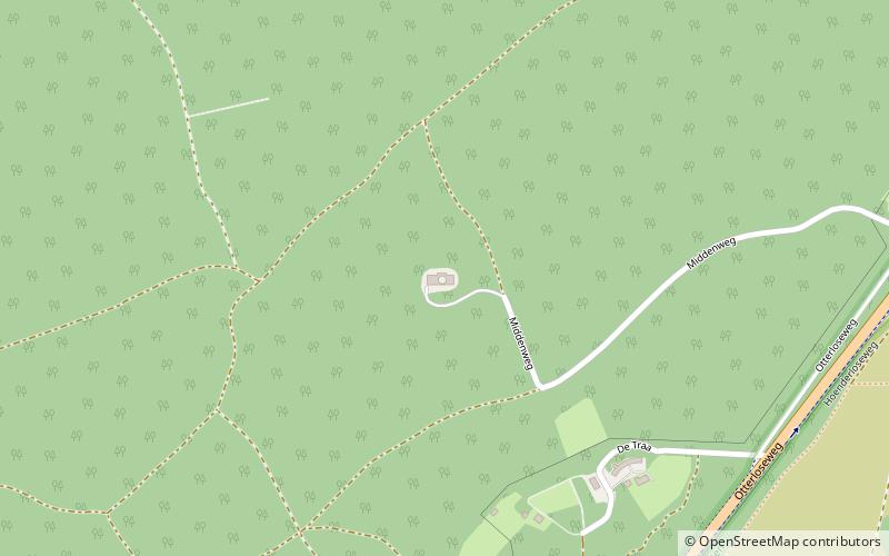
Zendstation Ugchelen is the designation of a facility for FM- and TV-broadcasting at Ugchelen, Netherlands. Zendstation Ugchelen uses as transmission tower a 142-metre-high freestanding lattice tower built in 1959. ()
Coordinates: 52°10'5"N, 5°53'48"E
Address
Hoenderloo (Bosgebied Ugchelen)Apeldoorn
ContactAdd
Social media
Add
Getting there by public transportation
Public transportation stops near this location
- Bus
 Bus
Bus
- Calculate routeVan der Valk/De Cantharel 26 min walk
Day trips


Frequently Asked Questions (FAQ)
How to get to Zendstation Ugchelen by public transport?
The nearest stations to Zendstation Ugchelen:
Bus
Bus
- Van der Valk/De Cantharel • Lines: 108, 652, 653 (26 min walk)