De Doelen, Rotterdam
Map
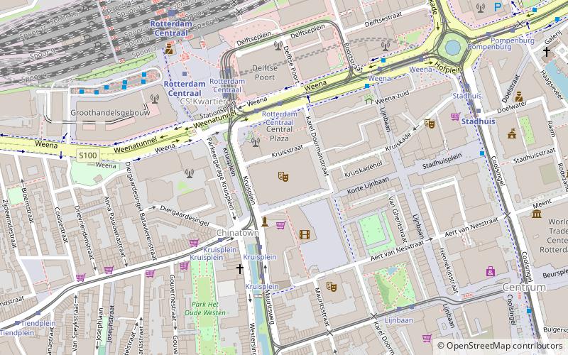
Map

Facts and practical information
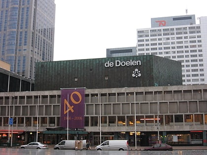
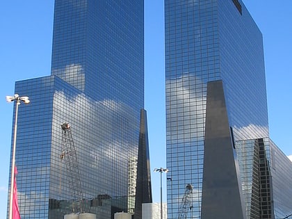
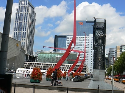
De Doelen is a concert venue and convention centre in Rotterdam, Netherlands. It was originally built in 1934 but then destroyed in 1940 during the German bombardment of Rotterdam in May 1940 at the outset of World War II. It was rebuilt in 1966, originally with one hall to which two more were added in the 1990s. ()
Day trips
De Doelen – popular in the area (distance from the attraction)
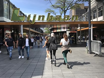
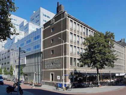
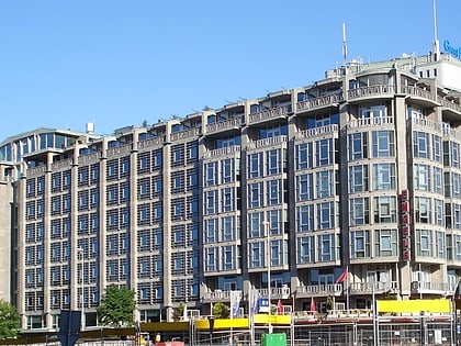
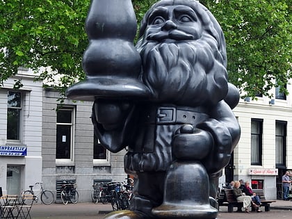
Nearby attractions include: Lijnbaan, Museum Rotterdam, Statue of Erasmus, Groothandelsgebouw.
Frequently Asked Questions (FAQ)
Which popular attractions are close to De Doelen?
Nearby attractions include Weena, Rotterdam (3 min walk), Schouwburgplein, Rotterdam (3 min walk), Pauluskerk, Rotterdam (4 min walk), Delftse Poort, Rotterdam (4 min walk).
How to get to De Doelen by public transport?
The nearest stations to De Doelen:
Tram
Bus
Metro
Train
Ferry
Tram
- Rotterdam Centraal • Lines: 12, 20, 21, 23, 24, 25, 4, 7, 8 (4 min walk)
- Kruisplein • Lines: 20, 21, 23, 24, 25, 4, 7, 8 (4 min walk)
Bus
- Weena • Lines: 38 (5 min walk)
- Rotterdam Centraal • Lines: 175, 33, 38, 40, 44, 804, 814, 818, 819, 824, N803, N814, N818, N819, N844 (8 min walk)
Metro
- Rotterdam Centraal • Lines: D, E (5 min walk)
- Stadhuis • Lines: D, E (7 min walk)
Train
- Rotterdam Centraal (7 min walk)
Ferry
- Rotterdam, Erasmusbrug • Lines: 20, 201, 202 (26 min walk)
