Raadhuis Oisterwijk, Oisterwijk

Gallery (1)
Map
Map
Facts and practical information
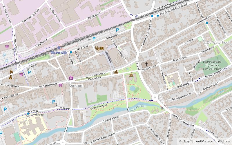
Raadhuis Oisterwijk (address: De Lind 53) is a place located in Oisterwijk (Noord-Brabant province) and belongs to the category of city hall.
It is situated at an altitude of 43 feet, and its geographical coordinates are 51°34'52"N latitude and 5°11'53"E longitude.
Among other places and attractions worth visiting in the area are: Kerkhovense Molen (historical place, 25 min walk), Nemerlaer Castle (forts and castles, 40 min walk), Haaren (locality, 59 min walk).
Coordinates: 51°34'52"N, 5°11'53"E
Address
De Lind 53Oisterwijk
ContactAdd
Social media
Add
Day trips


