Wittenborg University of Applied Sciences, Apeldoorn
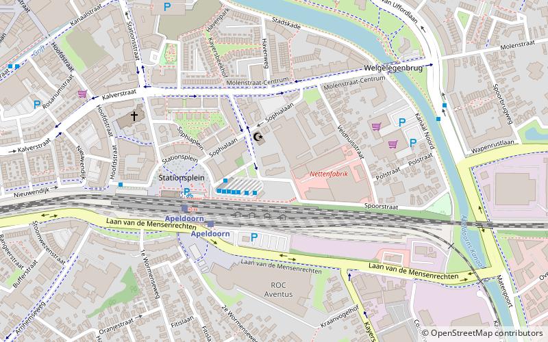
Map
Facts and practical information
Wittenborg University of Applied Sciences is a Dutch government accredited Vocational University in the centre of the Netherlands, offering bachelor's and master's degrees - vocational education - at higher level. ()
Getting there by public transportation
Public transportation stops near this location
- Bus
- Train
 Bus
Bus
- Calculate routeStation 2 min walk
- Calculate routeApeldoorn 4 min walk
Day trips


Frequently Asked Questions (FAQ)
Which popular attractions are close to Wittenborg University of Applied Sciences?
Nearby attractions include Raadhuisplein, Apeldoorn (14 min walk), Het Atelier Apeldoorn, Apeldoorn (18 min walk), Theological University of Apeldoorn, Apeldoorn (22 min walk), Beekpark, Apeldoorn (22 min walk).
How to get to Wittenborg University of Applied Sciences by public transport?
The nearest stations to Wittenborg University of Applied Sciences:
Bus
Train
Bus
- Station • Lines: 10, 102, 103, 108, 109, 112, 15, 201, 231, 293, 3, 4, 43, 510, 8, C2 (2 min walk)
Train
- Apeldoorn (4 min walk)