Landsfort Herle, Heerlen
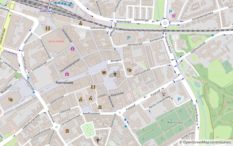
Map

Gallery

Facts and practical information
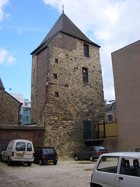
Landsfort Herle was a fortification with moat in, what now is, the centre of Heerlen, Netherlands, it was probably built by the counts van Ahr-Hochstaden The name Landsfort comes from the fact that the fortification come under the responsibility of the land. In the 13th century Heerlen, and thus also Landsfort Herle, come into the possession of the Dukes of Brabant, the Landsfort was built by the Dukes of Brabant in 1244. ()
Built: 1244 (782 years ago)Coordinates: 50°53'16"N, 5°58'49"E
Address
Heerlen
ContactAdd
Social media
Add
Day trips
Landsfort Herle – popular in the area (distance from the attraction)
Nearby attractions include: Glaspaleis, Weltermolen, Former V&D Heerlen, Oliemolen.
Frequently Asked Questions (FAQ)
Which popular attractions are close to Landsfort Herle?
Nearby attractions include Pancratiuskerk, Heerlen (1 min walk), Schelmentoren, Heerlen (1 min walk), Pancratiusplein, Heerlen (1 min walk), Schunck, Heerlen (2 min walk).
How to get to Landsfort Herle by public transport?
The nearest stations to Landsfort Herle:
Bus
Train
Bus
- Akerstraat • Lines: 3, 4, 43, 47, 603, 643, 7, 8 (5 min walk)
- Station • Lines: 1, 2, 3, 4, 43, 44, 5, 52, 55, 6, 603, 655, 8 (7 min walk)
Train
- Heerlen (8 min walk)


