Cruquiuseiland, Amsterdam
Map
Gallery
Facts and practical information
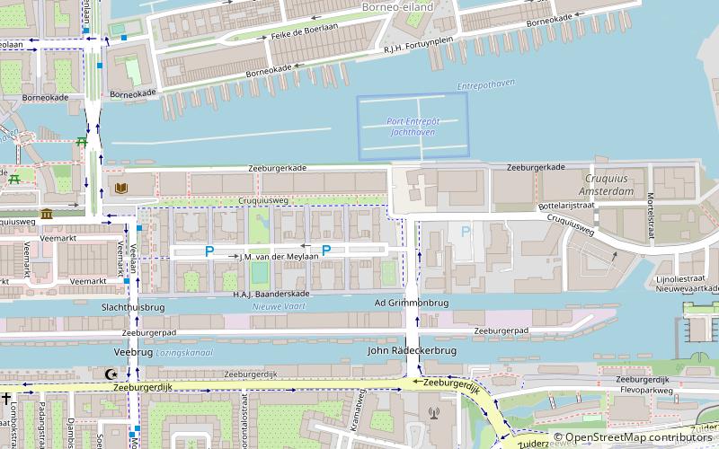
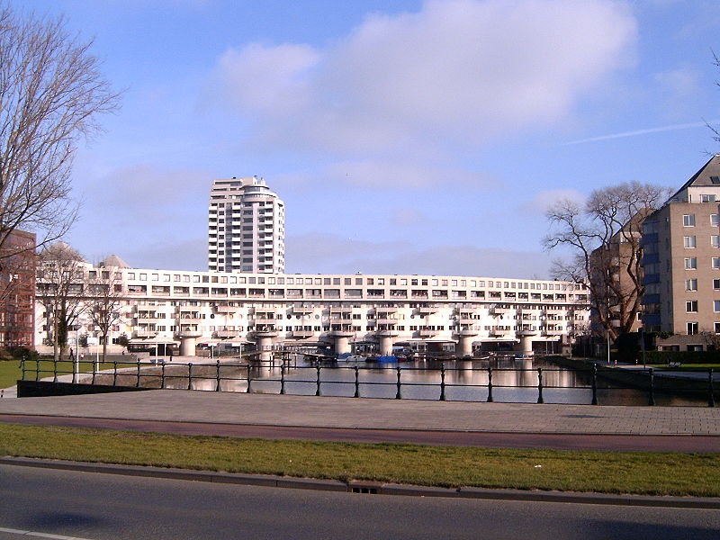
Cruquiuseiland is a suburb the Eastern Docklands in the Zeeburg district of Amsterdam. The majority of the area is the man-made Cruquius Island itself, although some adjacent land is also part of the area. It is bordered on the north by Borneolaan, the west is near bounded by rail, the south by Lozingskanaal and the east by the Rijnkannel. ()
Day trips
Cruquiuseiland – popular in the area (distance from the attraction)
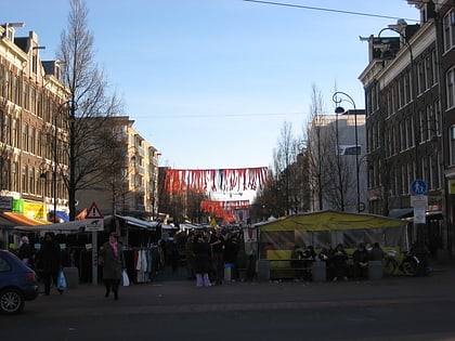
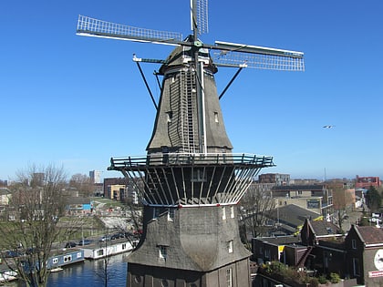
Nearby attractions include: Tropenmuseum, Dappermarkt, De Gooyer, Entrepotdoksluis.
Frequently Asked Questions (FAQ)
Which popular attractions are close to Cruquiuseiland?
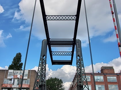
Nearby attractions include Press Museum, Amsterdam (6 min walk), Scheepstimmermanstraat, Amsterdam (9 min walk), Python Bridge, Amsterdam (10 min walk), Indische Buurt, Amsterdam (12 min walk).
How to get to Cruquiuseiland by public transport?
The nearest stations to Cruquiuseiland:
Bus
Tram
Train
Ferry
Bus
- Veelaan • Lines: 22, 65, N89 (6 min walk)
- R.J.H. Fortuynplein • Lines: 43 (7 min walk)
Tram
- Insulindeweg • Lines: 14, 3 (8 min walk)
- Flevopark • Lines: 14, 3 (10 min walk)
Train
- Amsterdam Muiderpoort (20 min walk)
- Amsterdam Science Park (28 min walk)
Ferry
- Veer Zamenhofstraat • Lines: F1 (33 min walk)

 Metro / Trams
