Zevenhuizerplas, Rotterdam
Map
Facts and practical information
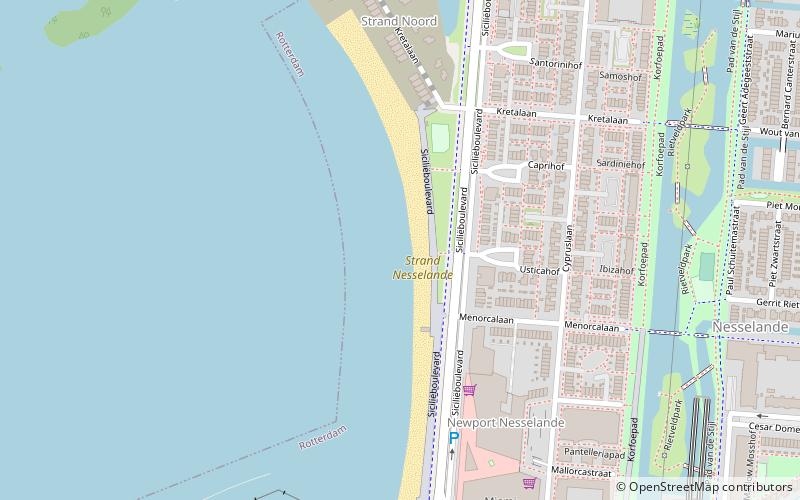
Zevenhuizerplas is a place located in Rotterdam (Zuid-Holland province) and belongs to the category of beach.
It is situated at an altitude of -26 feet, and its geographical coordinates are 51°59'0"N latitude and 4°34'49"E longitude.
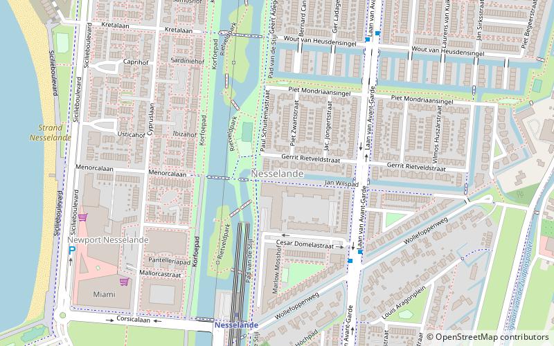
Planning a visit to this place, one can easily and conveniently get there by public transportation. Zevenhuizerplas is a short distance from the following public transport stations: Nesselande (metro, 10 min walk), Metro Nesselande (bus, 11 min walk).
Among other places and attractions worth visiting in the area are: Nesselande (neighbourhood, 9 min walk), Zevenkamp (neighbourhood, 31 min walk), Willem-Alexander Baan (sport venue, 32 min walk).
Coordinates: 51°59'0"N, 4°34'49"E
Address
Prins Alexander (Nesselande)Rotterdam
ContactAdd
Social media
Add
Getting there by public transportation
Public transportation stops near this location
- Metro
- Bus
 Metro
Metro
- Calculate routeNesselande 10 min walk
- Calculate routeDe Tochten 26 min walk
- Calculate routeMetro Nesselande 11 min walk
- Calculate routeCesar Domelastraat 12 min walk
- Calculate routeWout van Heusdensingel 12 min walk
- Calculate routeLaan van het Surrealisme 18 min walk
Day trips


Frequently Asked Questions (FAQ)
How to get to Zevenhuizerplas by public transport?
The nearest stations to Zevenhuizerplas:
Metro
Bus
Metro
- Nesselande • Lines: B (10 min walk)
- De Tochten • Lines: B (26 min walk)
Bus
- Metro Nesselande • Lines: 175, 383 (11 min walk)
- Cesar Domelastraat • Lines: 175, 383 (12 min walk)