de Holle Boom, Zuid-Kennemerland National Park
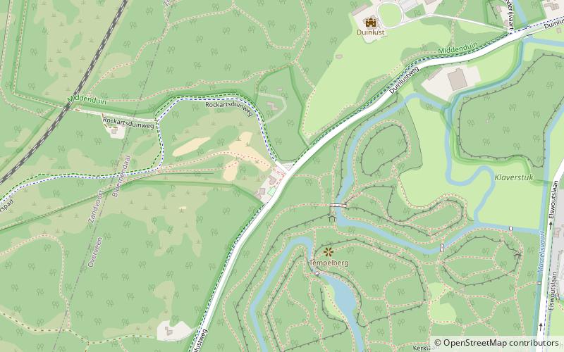
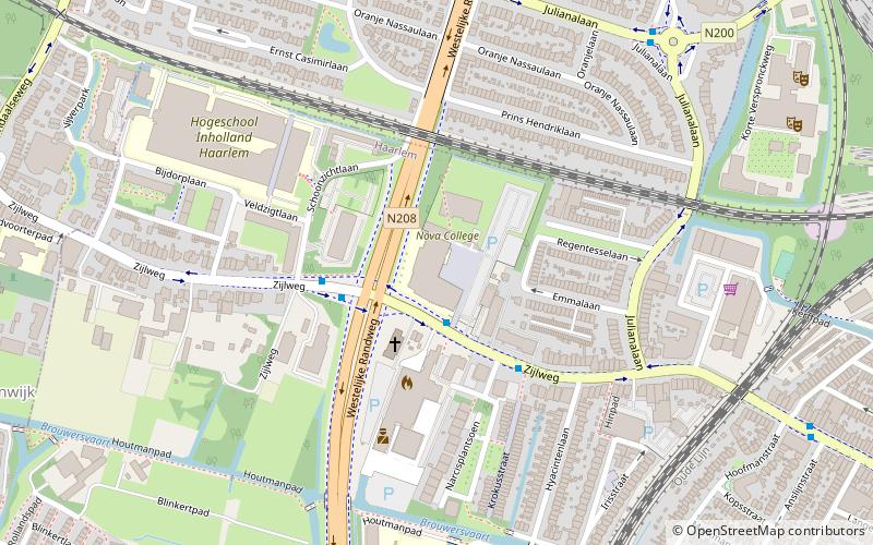
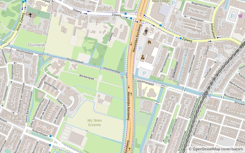
Map
Facts and practical information
de Holle Boom is a place located in Zuid-Kennemerland National Park (Noord-Holland province) and belongs to the category of monuments and statues.
It is situated at an altitude of 52 feet, and its geographical coordinates are 52°22'59"N latitude and 4°35'31"E longitude.
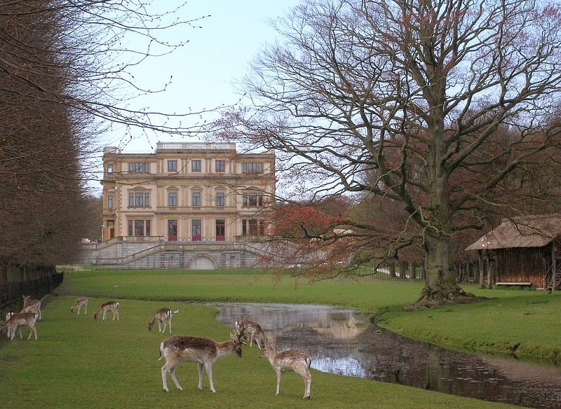
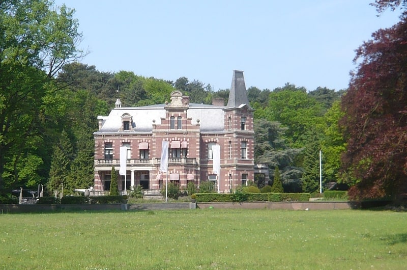
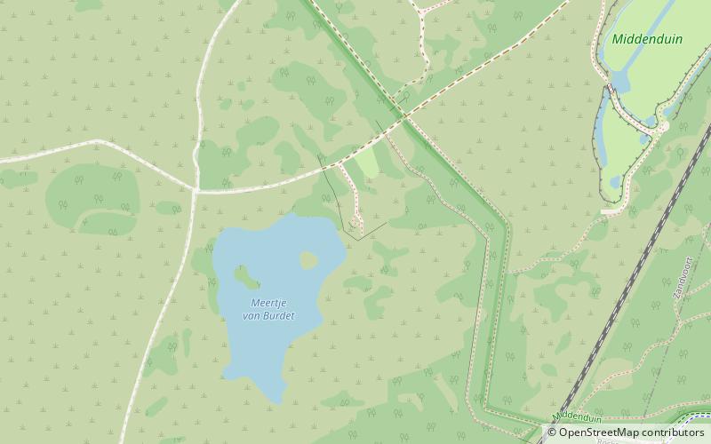
Among other places and attractions worth visiting in the area are: Duinlust (forts and castles, 6 min walk), Elswout (park, 8 min walk), Meertje van Burdet (nature, 15 min walk).
Coordinates: 52°22'59"N, 4°35'31"E
Day trips
de Holle Boom – popular in the area (distance from the attraction)
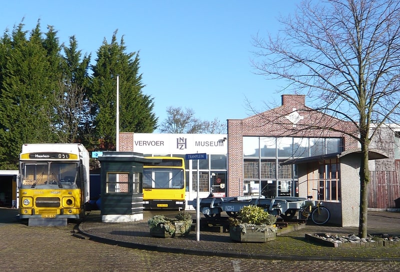
Nearby attractions include: Elswout, Hofje Codde en Van Beresteijn, NZH Public Transport Museum, De Houtvaart.

Frequently Asked Questions (FAQ)
Which popular attractions are close to de Holle Boom?
Nearby attractions include Duinlust, Zuid-Kennemerland National Park (6 min walk), Elswout, Zuid-Kennemerland National Park (8 min walk), Meertje van Burdet, Zuid-Kennemerland National Park (15 min walk).