Heer, Maastricht
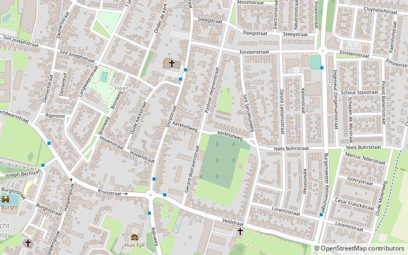
Map

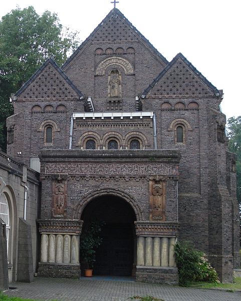
Gallery

Facts and practical information
Heer is a neighbourhood of Maastricht, in the Dutch province of Limburg. Heer is a former municipality and village, incorporated into Maastricht in 1970 and, until 1828, this municipality was called "Heer en Keer". The municipality covered the former villages of Heer and Scharn. It is located on the right bank of the river Meuse. ()
Address
Maastricht
ContactAdd
Social media
Add
Day trips
Heer – popular in the area (distance from the attraction)
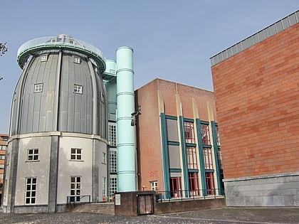
Nearby attractions include: Bonnefantenmuseum, Fotomuseum aan het Vrijthof, Torenmolen van Gronsveld, Wyck.
Frequently Asked Questions (FAQ)
How to get to Heer by public transport?
The nearest stations to Heer:
Bus
Train
Bus
- Dorpstraat/Kerk • Lines: 2 (3 min walk)
- Rijksweg/Veldstraat • Lines: 10, 2, 650, 659 (5 min walk)
Train
- Maastricht Randwyck (13 min walk)
- Maastricht (33 min walk)


