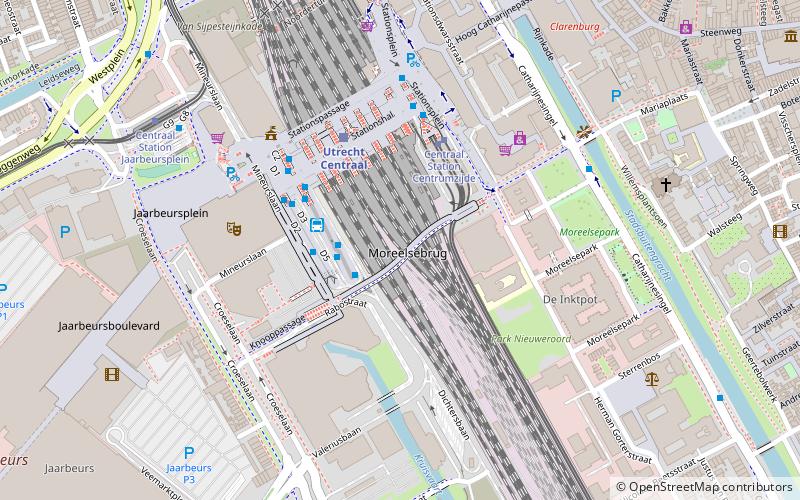
Moreelsebrug, Utrecht
Map
Facts and practical information
The Moreelsebrug is a bicycle and pedestrian bridge in Utrecht, Netherlands, spanning the railroad tracks to the south of Utrecht Centraal railway station. It is about 275 metres long and connects the Dichterswijk with Mariaplaats in the Binnenstad district. It was named for Hendrick Moreelse, a 17th-century mayor of Utrecht, after that choice received a plurality of the votes in a citywide referendum. ()
Address
Moreelsebrug, UtrechtBinnenstad (Hoog-Catharijne CS en Leidseveer)Utrecht
ContactAdd
Social media
Add
Getting there by public transportation
Public transportation stops near this location
- Bus
- Tram
- Train
 Bus
Bus
- Calculate routeCS Jaarbeurszijde C9 2 min walk
- Calculate routeCS Jaarbeurszijde C7 2 min walk
- Calculate routeCS Jaarbeurszijde C10 2 min walk
- Calculate routeCS Jaarbeurszijde D5 2 min walk
- Calculate routeCentraal Station Centrumzijde B3 3 min walk
- Calculate routeCentraal Station Jaarbeursplein 7 min walk
- Calculate routeGraadt van Roggenweg 12 min walk
- Calculate routeUtrecht Centraal 3 min walk
- Calculate routeUtrecht Vaartsche Rijn 20 min walk
- Calculate routeUtrecht Maliebaan 22 min walk
- Calculate routeUtrecht Zuilen 36 min walk
Day trips

Frequently Asked Questions (FAQ)
Which popular attractions are close to Moreelsebrug?
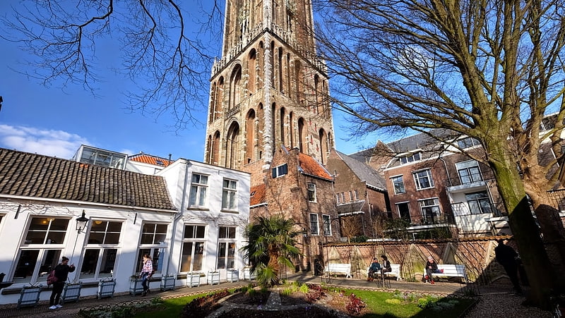
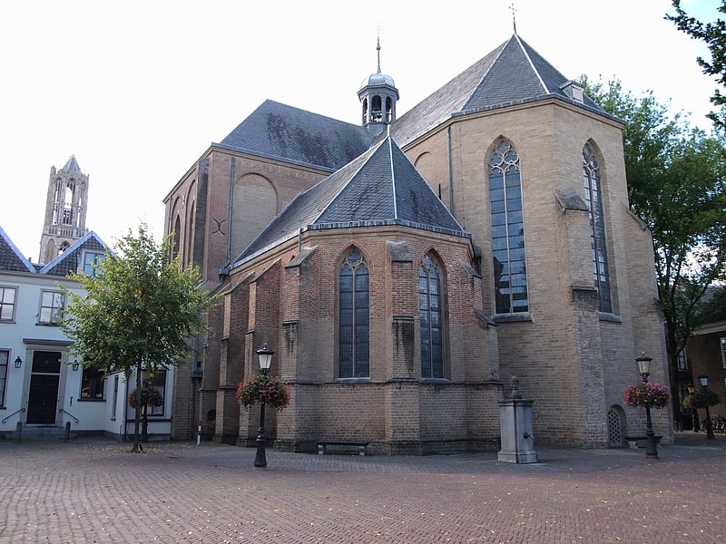
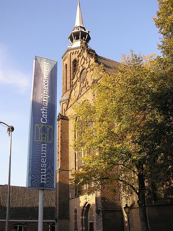
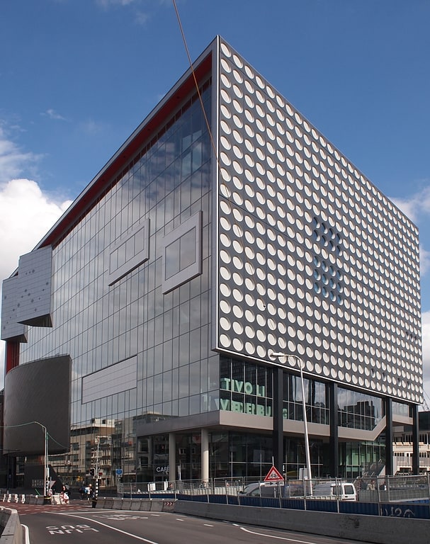
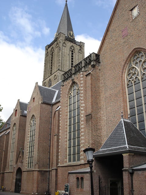
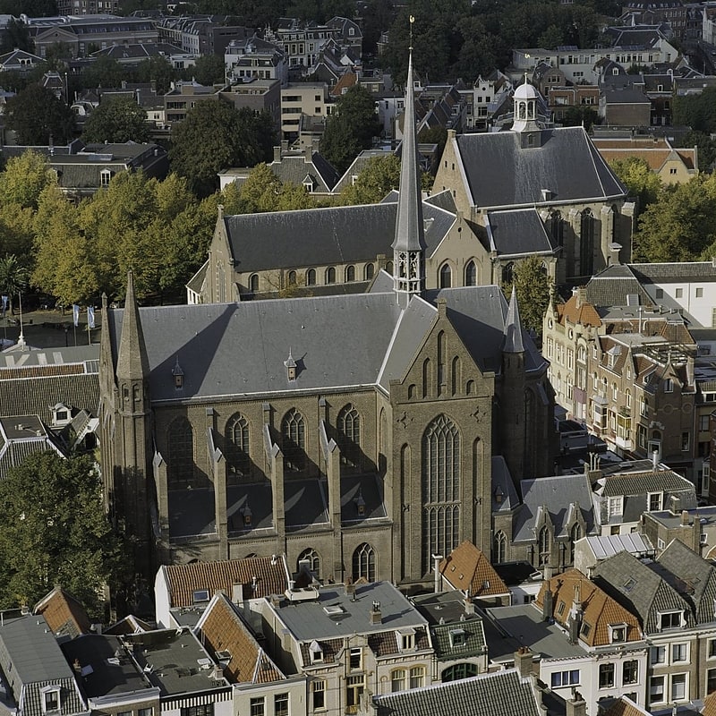
Nearby attractions include De Inktpot, Utrecht (5 min walk), St. Gertrude's Cathedral, Utrecht (7 min walk), St. Mary's Church, Utrecht (7 min walk), Utrechts Conservatorium, Utrecht (8 min walk).
How to get to Moreelsebrug by public transport?
The nearest stations to Moreelsebrug:
Bus
Tram
Train
Bus
- CS Jaarbeurszijde C9 • Lines: 12, 120, 38, 73 (2 min walk)
- CS Jaarbeurszijde C7 • Lines: 63, 65, 85 (2 min walk)
Tram
- Centraal Station Centrumzijde B3 • Lines: 22 (3 min walk)
- Centraal Station Jaarbeursplein • Lines: 60, 61 (7 min walk)
Train
- Utrecht Centraal (3 min walk)
- Utrecht Vaartsche Rijn (20 min walk)