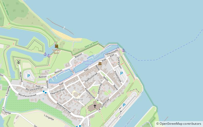
Jachtclub Veere, Veere
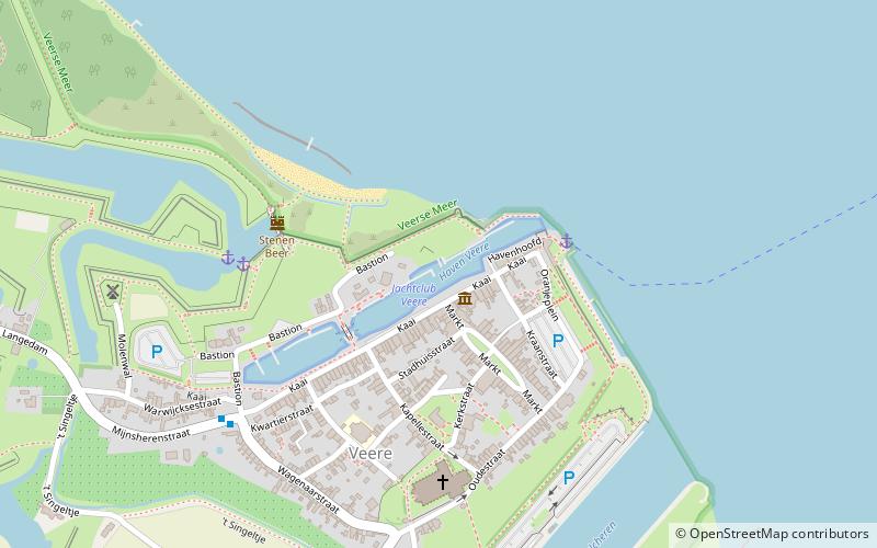
Map
Facts and practical information
Jachtclub Veere (address: Kaai 14) is a place located in Veere (Zeeland province) and belongs to the category of sailing, restaurant, marina.
It is situated at an altitude of 3 feet, and its geographical coordinates are 51°32'59"N latitude and 3°40'3"E longitude.
Planning a visit to this place, one can easily and conveniently get there by public transportation. Jachtclub Veere is a short distance from the following public transport stations: Ruiterplaat (bus, 29 min walk).
Among other places and attractions worth visiting in the area are: De Schotse Huizen (specialty museum, 1 min walk), Stenen Beer (ruins, 4 min walk), Great Church (church, 5 min walk).
Coordinates: 51°32'59"N, 3°40'3"E
Getting there by public transportation
Public transportation stops near this location
- Bus
 Bus
Bus
- Calculate routeRuiterplaat 29 min walk
Day trips


Frequently Asked Questions (FAQ)
Which popular attractions are close to Jachtclub Veere?
Nearby attractions include De Schotse Huizen, Veere (1 min walk), Stenen Beer, Veere (4 min walk), Great Church, Veere (5 min walk).
How to get to Jachtclub Veere by public transport?
The nearest stations to Jachtclub Veere:
Bus
Bus
- Ruiterplaat • Lines: 31 (29 min walk)