De Onderneming
Map
Map

Facts and practical information
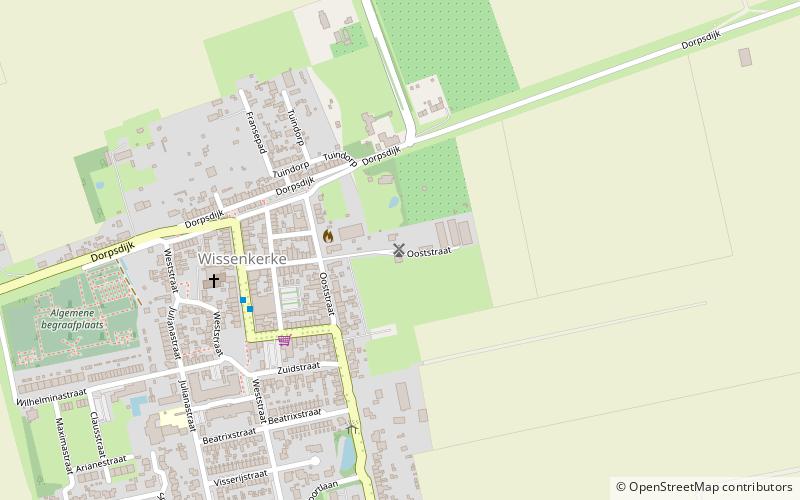
De Onderneming is a corn mill on the Ooststraat in Wissenkerke and can be seen from afar.
It is a scaffold mill built in 1860. The cap is covered with roofing leather, the mill has a flight of 21.70 meters. The mill is millable, and is still used to grind grain by wind power.
Some of the scaffolding braces have been removed to ensure truck access to the barn located behind the mill.
Coordinates: 51°35'9"N, 3°45'1"E
Day trips
De Onderneming – popular in the area (distance from the attraction)
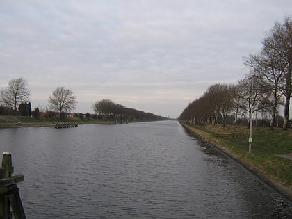
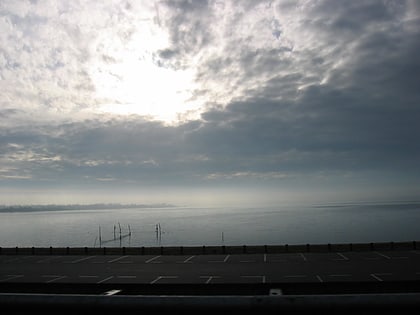
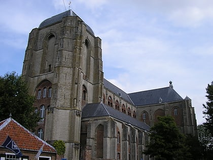
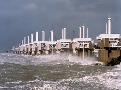
Nearby attractions include: Deltapark Neeltje Jans, Canal through Walcheren, Veerse Meer, Great Church.


