Muntplein, Amsterdam
Map
Gallery
Facts and practical information
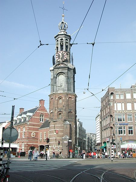
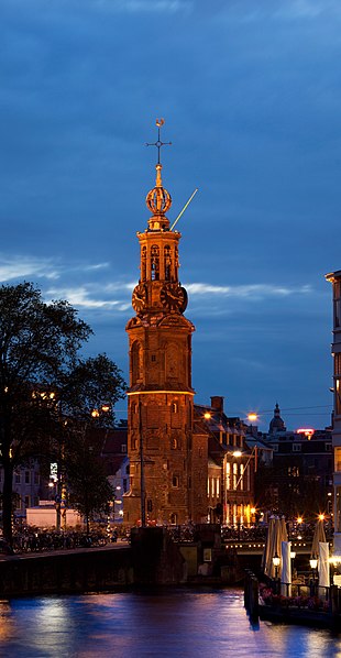
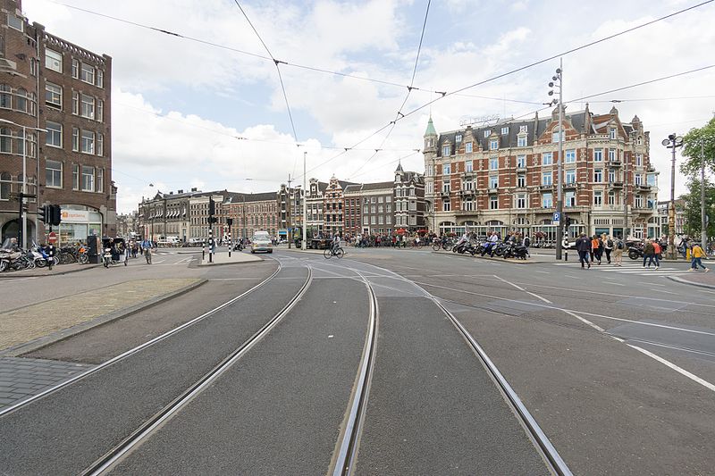
The Muntplein is a square in the centre of Amsterdam. The square is in fact a bridge — the widest bridge in Amsterdam — that crosses the Singel canal at the point where it flows into the Amstel river. All bridges in Amsterdam are numbered, and the Muntplein carries the number 1. ()
Address
Stadsdeel Centrum (Grachtengordel-Zuid)Amsterdam
ContactAdd
Social media
Add
Day trips
Muntplein – popular in the area (distance from the attraction)
Nearby attractions include: Heiligeweg, FOAM, Bloemenmarkt, Kalvertoren.
Frequently Asked Questions (FAQ)
Which popular attractions are close to Muntplein?
Nearby attractions include Munttoren, Amsterdam (1 min walk), Tuschinski Theatre, Amsterdam (2 min walk), Bloemenmarkt, Amsterdam (3 min walk), Rokin, Amsterdam (3 min walk).
How to get to Muntplein by public transport?
The nearest stations to Muntplein:
Tram
Bus
Metro
Train
Ferry
Tram
- Muntplein • Lines: 24 (1 min walk)
- Rembrandtplein • Lines: 14, 4 (4 min walk)
Bus
- Rembrandtplein • Lines: N85, N87, N89, N91, N93 (4 min walk)
- Rokin • Lines: N85, N87, N89, N91 (5 min walk)
Metro
- Rokin • Lines: 52 (7 min walk)
- Waterlooplein • Lines: 51, 53, 54 (12 min walk)
Train
- Amsterdam Central Station (23 min walk)
Ferry
- Centraal Station • Lines: F2 (25 min walk)
- IJplein • Lines: F2 (31 min walk)



 Metro / Trams


