Eastern Docklands, Amsterdam


Facts and practical information
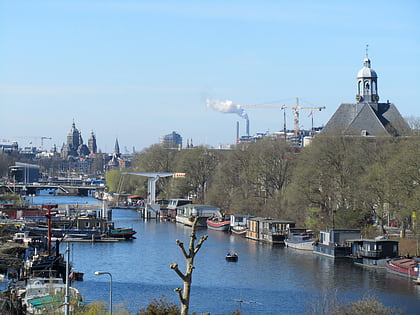
The Eastern Docklands is a neighborhood of Amsterdam, Netherlands, located between the IJ and the Amsterdam–Rhine Canal in the borough of Amsterdam-Oost. The harbor area was constructed in the late nineteenth century to allow for increasing trade with the Dutch East Indies; a new location was necessitated by the construction of the Amsterdam Centraal railway station, which replaced the old quays. East of the new station was a marshy area called De Rietlanden, with the Zeeburgerdijk, running via the Zeeburch, a fort, to the Zuiderzee. ()
Zeeburg (Oostelijk Havengebied)Amsterdam
Eastern Docklands – popular in the area (distance from the attraction)
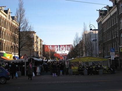
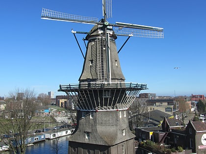
Nearby attractions include: National Maritime Museum, Tropenmuseum, Entrepotdok, Dappermarkt.
Frequently Asked Questions (FAQ)
Which popular attractions are close to Eastern Docklands?
How to get to Eastern Docklands by public transport?
Tram
- Rietlandpark • Lines: 26, 7 (2 min walk)
- C. van Eesterenlaan • Lines: 7 (4 min walk)
Bus
- C. van Eesterenlaan • Lines: 246, 43, 65, N89 (4 min walk)
- Oostelijke Handelskade • Lines: N89 (6 min walk)
Ferry
- Veer Zamenhofstraat • Lines: F1 (21 min walk)
- IJplein • Lines: F2 (33 min walk)
Train
- Amsterdam Muiderpoort (24 min walk)
Metro
- Noorderpark • Lines: 52 (33 min walk)
- Weesperplein • Lines: 51, 53, 54 (37 min walk)

 Metro / Trams


