Nederlands Hervormde Kerk, Hellevoetsluis

Gallery (1)
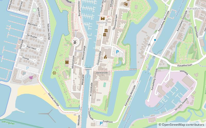
Map
Map
Facts and practical information
Nederlands Hervormde Kerk is a place located in Hellevoetsluis (Zuid-Holland province) and belongs to the category of church.
It is situated at an altitude of 10 feet, and its geographical coordinates are 51°49'24"N latitude and 4°7'47"E longitude.
Planning a visit to this place, one can easily and conveniently get there by public transportation. Nederlands Hervormde Kerk is a short distance from the following public transport stations: Vesting (bus, 5 min walk).
Among other places and attractions worth visiting in the area are: Nationaal Brandweer Museum (history museum, 4 min walk), De Hoop (monuments and statues, 4 min walk), Lichtschip 12 Noord Hinder (museum, 6 min walk).
Coordinates: 51°49'24"N, 4°7'47"E
Address
Hellevoetsluis
ContactAdd
Social media
Add
Getting there by public transportation
Public transportation stops near this location
- Bus
 Bus
Bus
- Calculate routeVesting 5 min walk
- Calculate routeVlasakkerlaan 10 min walk
- Calculate routeJan Blankenstraat 16 min walk
- Calculate routePlataanlaan 19 min walk
Day trips


Frequently Asked Questions (FAQ)
Which popular attractions are close to Nederlands Hervormde Kerk?
Nearby attractions include Nationaal Brandweer Museum, Hellevoetsluis (4 min walk), De Hoop, Hellevoetsluis (4 min walk), Lichtschip 12 Noord Hinder, Hellevoetsluis (6 min walk), Twee Hondjes, Hellevoetsluis (6 min walk).
How to get to Nederlands Hervormde Kerk by public transport?
The nearest stations to Nederlands Hervormde Kerk:
Bus
Bus
- Vesting • Lines: 105, 91 (5 min walk)
- Vlasakkerlaan • Lines: 105, 91 (10 min walk)