IJsselmeer
Map

Gallery

Facts and practical information
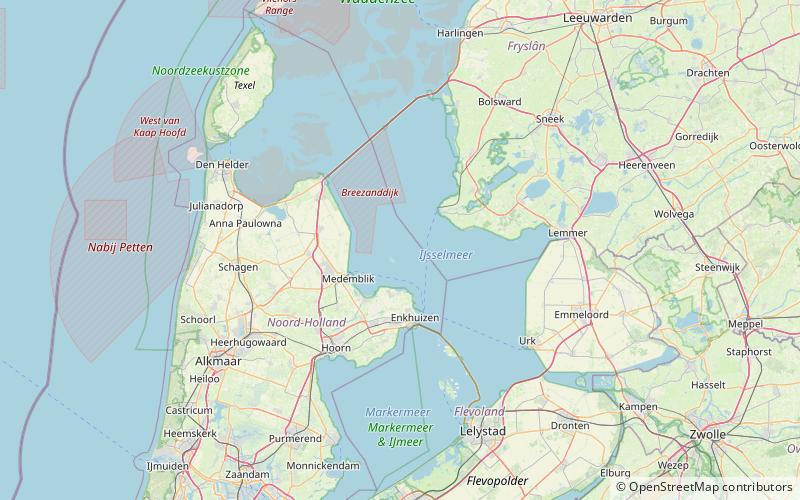
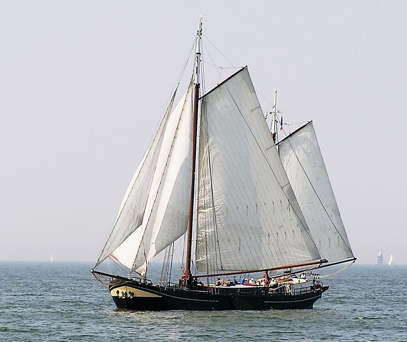
The IJsselmeer, also known as Lake IJssel in English, is a closed off inland bay in the central Netherlands bordering the provinces of Flevoland, North Holland and Friesland. It covers an area of 1,100 km2 with an average depth of 5.5 m. The river IJssel flows into the IJsselmeer. ()
Alternative names: Area: 424.71 mi²Maximum depth: 23 ftElevation: 0 ft a.s.l.Coordinates: 52°49'0"N, 5°15'0"E
Location
Region: IJsselmeer
ContactAdd
Social media
Add
Day trips
IJsselmeer – popular in the area (distance from the attraction)
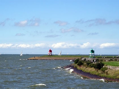
Nearby attractions include: Stavoren Lighthouse, De Ven, Stoomgemaal Vier Noorder Koggen, Stoommachine gemaal.


