Java-eiland, Amsterdam
Map
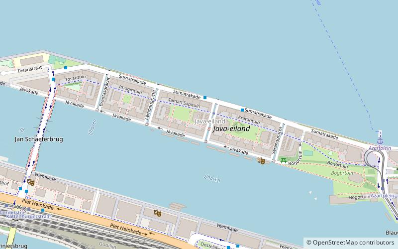
Map

Facts and practical information
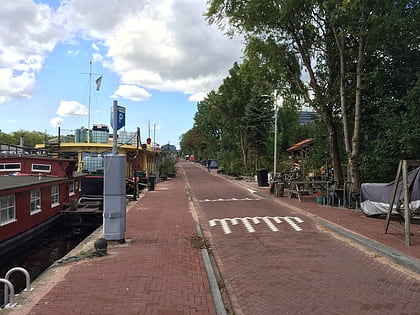
Java-eiland is a neighbourhood of Amsterdam, Netherlands. It is located on a peninsula, surrounded on three sides by water and on the east by the KNSM Island neighbourhood. ()
Address
Zeeburg (Oostelijk Havengebied)Amsterdam
ContactAdd
Social media
Add
Day trips
Java-eiland – popular in the area (distance from the attraction)
Nearby attractions include: NEMO Museum, National Maritime Museum, Muziekgebouw aan 't IJ, Entrepotdok.
Frequently Asked Questions (FAQ)
Which popular attractions are close to Java-eiland?
Nearby attractions include Mezrab, Amsterdam (5 min walk), Jan Schaeferbrug, Amsterdam (8 min walk), Eastern Docklands, Amsterdam (11 min walk), Dansmakers Amsterdam, Amsterdam (13 min walk).
How to get to Java-eiland by public transport?
The nearest stations to Java-eiland:
Bus
Tram
Ferry
Metro
Bus
- Majanggracht • Lines: 246, 43 (2 min walk)
- Oostelijke Handelskade • Lines: N89 (6 min walk)
Tram
- Azartplein • Lines: 7 (9 min walk)
- Kattenburgerstraat • Lines: 26 (10 min walk)
Ferry
- Veer Zamenhofstraat • Lines: F1 (12 min walk)
- IJplein • Lines: F2 (24 min walk)
Metro
- Noorderpark • Lines: 52 (22 min walk)
- Waterlooplein • Lines: 51, 53, 54 (35 min walk)

 Metro / Trams


