Jachthaven Dragt, Aalsmeer
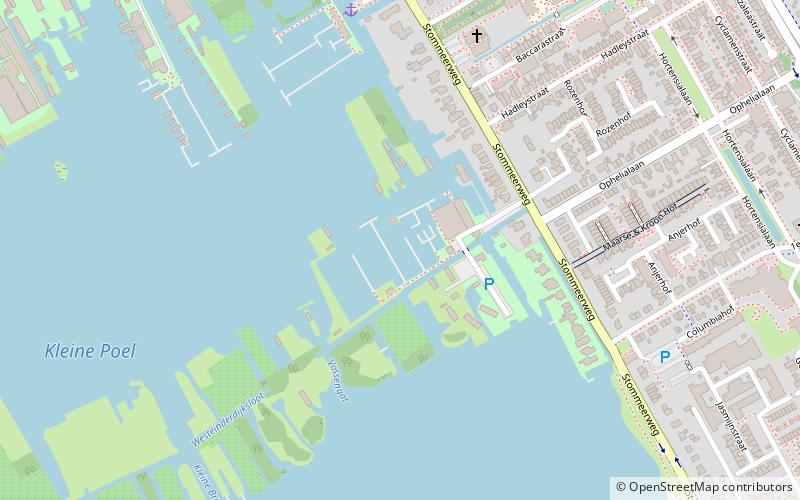
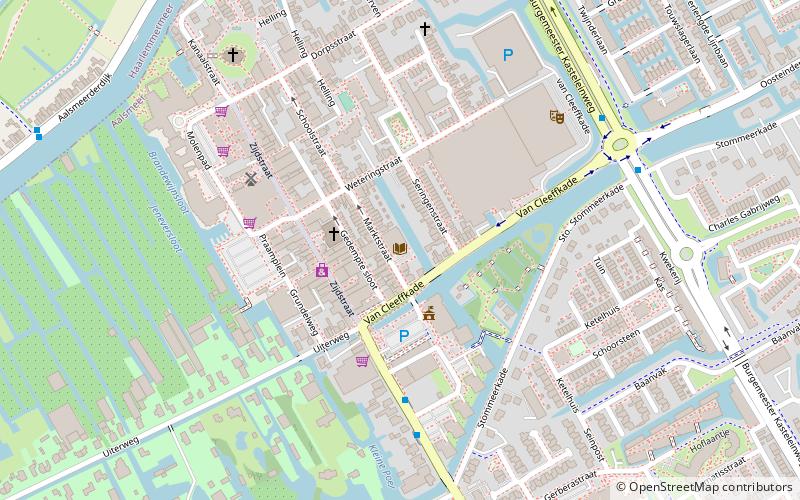
Map
Facts and practical information
Jachthaven Dragt is a place located in Aalsmeer (Noord-Holland province) and belongs to the category of sailing, marina.
It is situated at an altitude of -7 feet, and its geographical coordinates are 52°15'40"N latitude and 4°45'3"E longitude.
Planning a visit to this place, one can easily and conveniently get there by public transportation. Jachthaven Dragt is a short distance from the following public transport stations: Drie Kolommenplein (bus, 8 min walk).
Among other places and attractions worth visiting in the area are: Jachthaven t' Drijfhuis (sailing, 6 min walk), Historische Tuin Aalsmeer (history museum, 12 min walk), Amstelland Bibliotheken Aalsmeer (library, 12 min walk).
Coordinates: 52°15'40"N, 4°45'3"E
Getting there by public transportation
Public transportation stops near this location
- Bus
 Bus
Bus
- Calculate routeDrie Kolommenplein 8 min walk
- Calculate routeVuurdoornstraat 13 min walk
- Calculate routeAalsmeerderdijk 446 18 min walk
- Calculate routeBusstation Aalsmeer 20 min walk
Day trips


Frequently Asked Questions (FAQ)
Which popular attractions are close to Jachthaven Dragt?
Nearby attractions include Jachthaven t' Drijfhuis, Aalsmeer (6 min walk), Historische Tuin Aalsmeer, Aalsmeer (12 min walk), Amstelland Bibliotheken Aalsmeer, Aalsmeer (12 min walk), De Leeuw, Aalsmeer (15 min walk).
How to get to Jachthaven Dragt by public transport?
The nearest stations to Jachthaven Dragt:
Bus
Bus
- Drie Kolommenplein • Lines: OV-op-Maat Aalsmeer (8 min walk)
- Vuurdoornstraat • Lines: OV-op-Maat Aalsmeer (13 min walk)