KNSM Island, Amsterdam
Map
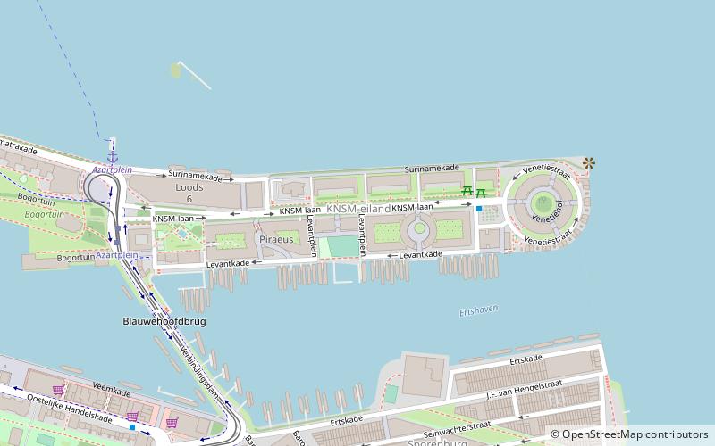
Map

Facts and practical information
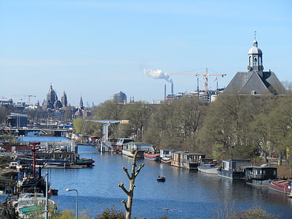
The KNSM Island is a man-made island in the Eastern Docklands of Amsterdam. It is named for the Koninklijke Nederlandsche Stoomboot-Maatschappij, the Royal Dutch Steamboat Shipping company which used to have its headquarters and its docks on the island. It is now a large residential area containing modern architecture with a mostly well-off population. ()
Day trips
KNSM Island – popular in the area (distance from the attraction)
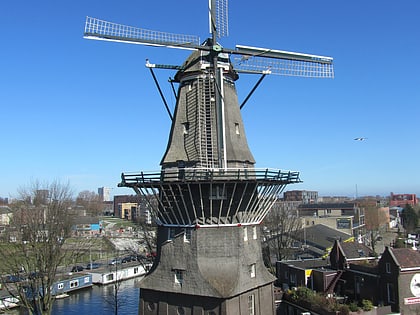
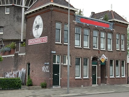
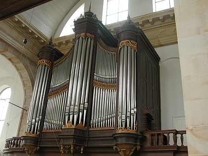
Nearby attractions include: De Gooyer, Press Museum, Brouwerij 't IJ, Oosterkerk.
Frequently Asked Questions (FAQ)
Which popular attractions are close to KNSM Island?
Nearby attractions include Python Bridge, Amsterdam (10 min walk), Eastern Docklands, Amsterdam (11 min walk), Scheepstimmermanstraat, Amsterdam (11 min walk), Press Museum, Amsterdam (14 min walk).
How to get to KNSM Island by public transport?
The nearest stations to KNSM Island:
Bus
Tram
Ferry
Train
Metro
Bus
- Levantplein • Lines: 65 (1 min walk)
- KNSM-laan • Lines: 65 (4 min walk)
Tram
- Azartplein • Lines: 7 (7 min walk)
- C. van Eesterenlaan • Lines: 7 (8 min walk)
Ferry
- Veer Zamenhofstraat • Lines: F1 (20 min walk)
Train
- Amsterdam Muiderpoort (32 min walk)
Metro
- Noorderpark • Lines: 52 (34 min walk)

 Metro / Trams