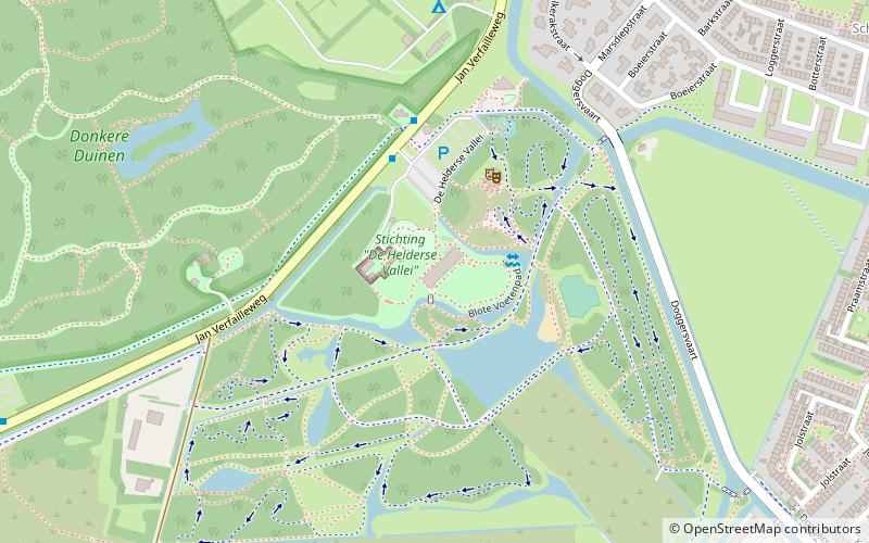
Stichting "De Helderse Vallei", Den Helder
Map

Map

Facts and practical information
Stichting "De Helderse Vallei" (address: De Helderse Vallei 9-11) is a place located in Den Helder (Noord-Holland province) and belongs to the category of theme park, amusement park, relax in park.
It is situated at an altitude of 3 feet, and its geographical coordinates are 52°56'1"N latitude and 4°43'59"E longitude.
Among other places and attractions worth visiting in the area are: Fort Kijkduin Huisduinen (specialty museum, 33 min walk), Lange Jaap (lighthouse, 40 min walk), Schouwburg De Kampanje (concerts and shows, 59 min walk).
Elevation: 3 ft a.s.l.Coordinates: 52°56'1"N, 4°43'59"E
Day trips
Stichting "De Helderse Vallei" – popular in the area (distance from the attraction)
Nearby attractions include: Marinemuseum, Lange Jaap, Groote Kaap, Landgoed Hoenderdaell.


