de Struijs, Veere

Gallery (1)
Map
Map
Facts and practical information
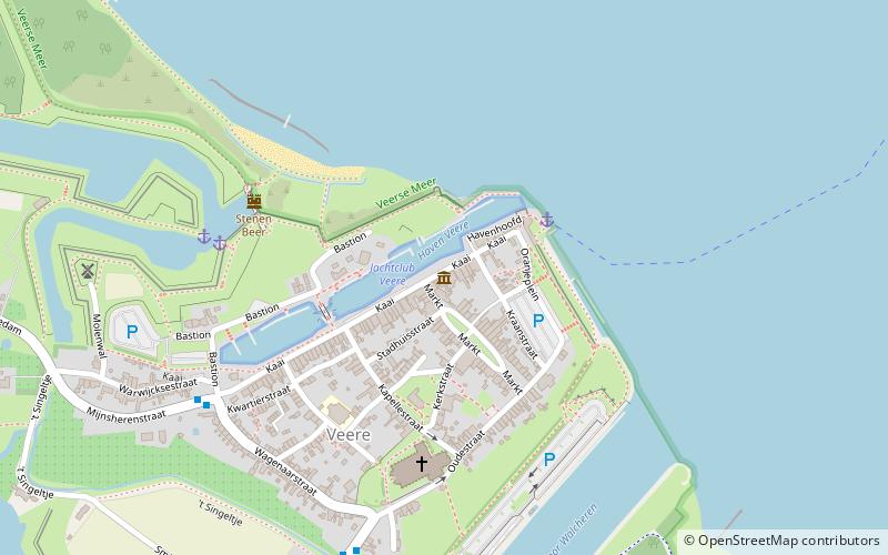
de Struijs (address: 27 Kaai) is a place located in Veere (Zeeland province) and belongs to the category of sightseeing.
It is situated at an altitude of 10 feet, and its geographical coordinates are 51°32'58"N latitude and 3°40'5"E longitude.
Among other places and attractions worth visiting in the area are: Great Church (church, 5 min walk), Canal through Walcheren (canal, 64 min walk), Veerse Meer (nature, 79 min walk).
Coordinates: 51°32'58"N, 3°40'5"E
Address
27 KaaiVeere
ContactAdd
Social media
Add
Day trips


