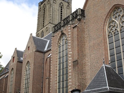
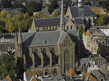
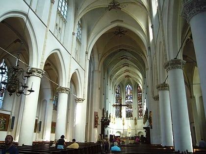
Catharijne, Utrecht
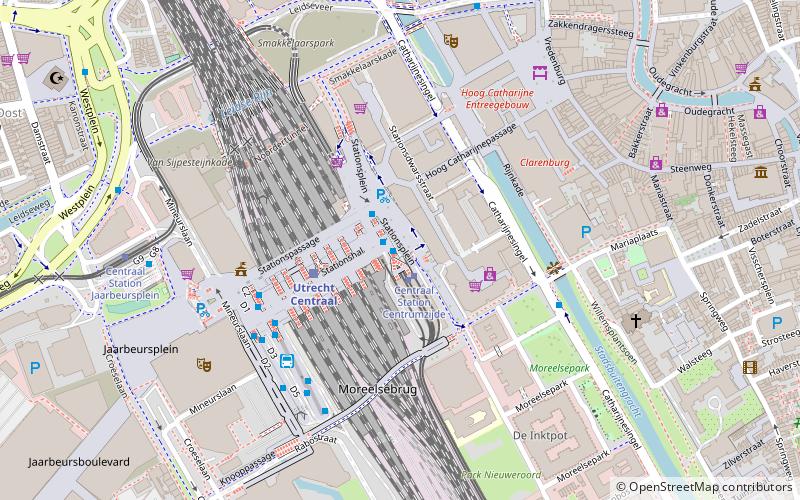
Map
Facts and practical information
Catharijne is a former municipality on the west side of the Dutch city of Utrecht. It was a separate municipality between 1818 and 1823, when it merged with the city of Utrecht. ()
Day trips
Catharijne – popular in the area (distance from the attraction)
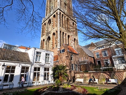
Nearby attractions include: St. Martin's Cathedral, Vredenburg Castle, Oudegracht, Domtoren.
Frequently Asked Questions (FAQ)
Which popular attractions are close to Catharijne?
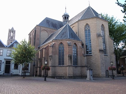
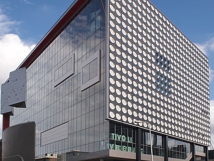
Nearby attractions include Moreelsebrug, Utrecht (4 min walk), TivoliVredenburg, Utrecht (6 min walk), St. Mary's Church, Utrecht (6 min walk), St. Gertrude's Cathedral, Utrecht (6 min walk).
How to get to Catharijne by public transport?
The nearest stations to Catharijne:
Bus
Tram
Train
Bus
- CS Centrumzijde A3 • Lines: 28 (1 min walk)
- CS Centrumzijde A1 • Lines: 2, 3 (2 min walk)
Tram
- Centraal Station Centrumzijde B2 • Lines: 22 (1 min walk)
- Centraal Station Jaarbeursplein • Lines: 60, 61 (7 min walk)
Train
- Utrecht Centraal (3 min walk)
- Utrecht Maliebaan (22 min walk)


