Nieuwe Kerk, Groningen
Map

Map

Facts and practical information
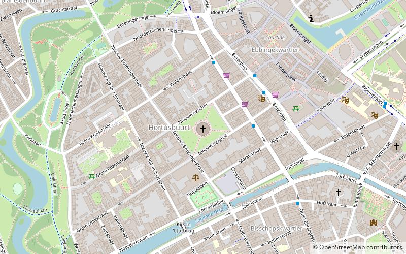
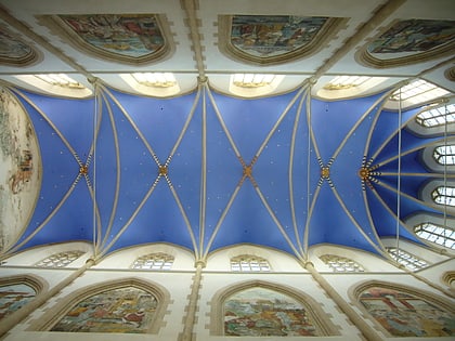
The Nieuwe Kerk, also called Noorderkerk in the 18th century, is a Protestant church in the city of Groningen, located on the Nieuwe Kerkhof in the Hortus neighborhood. The name "new" church is a reference to the "old" Saint Walburg church. Originally the churchyard was called the Nieuwe Sint-Walburgkerkhof. The church stands on the northernmost hill of the Hondsrug; the Noordes or Tie.
Coordinates: 53°13'24"N, 6°33'42"E
Address
Nieuwe Kerkhof 1Binnenstad (Binnenstad-Noord)Groningen 9712 PT
Contact
+31 50 312 3756
Social media
Add
Day trips
Nieuwe Kerk – popular in the area (distance from the attraction)
Nearby attractions include: Groninger Museum, Noordelijk Scheepvaartmuseum, Martinitoren, Noorderplantsoen.
Frequently Asked Questions (FAQ)
Which popular attractions are close to Nieuwe Kerk?
Nearby attractions include Ossenmarkt, Groningen (3 min walk), Noorderplantsoen, Groningen (7 min walk), University of Groningen, Groningen (8 min walk), Prinsentuin, Groningen (9 min walk).
How to get to Nieuwe Kerk by public transport?
The nearest stations to Nieuwe Kerk:
Bus
Train
Bus
- Korenstraat • Lines: 10 (3 min walk)
- Brouwersstraat • Lines: 10 (3 min walk)
Train
- Groningen Noord (14 min walk)
- Groningen (22 min walk)


