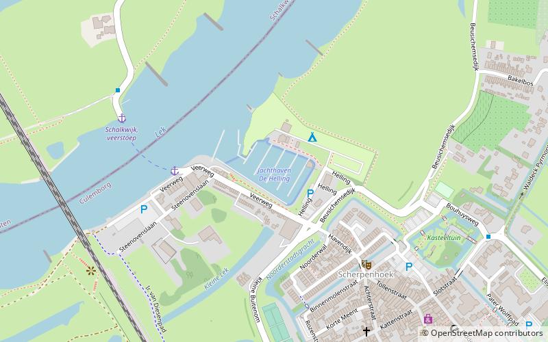
Jachthaven De Helling, Culemborg
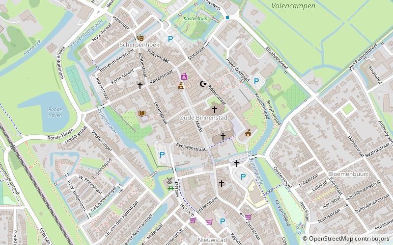
Map
Facts and practical information
Jachthaven De Helling is a place located in Culemborg (Gelderland province) and belongs to the category of sailing, marina.
It is situated at an altitude of 10 feet, and its geographical coordinates are 51°57'41"N latitude and 5°13'12"E longitude.
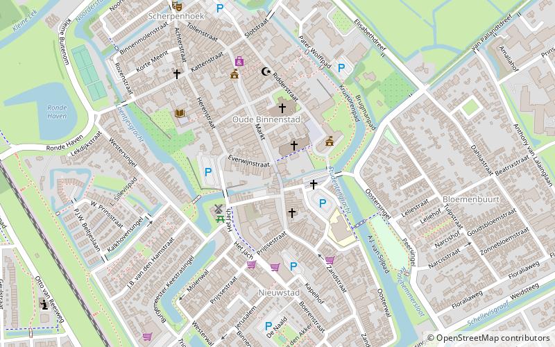
Among other places and attractions worth visiting in the area are: Kasteeltuin Culemborg (park, 7 min walk), Elisabethweeshuis (children's museum, 8 min walk), Markt (square, 10 min walk).
Coordinates: 51°57'41"N, 5°13'12"E
Day trips
Jachthaven De Helling – popular in the area (distance from the attraction)
Nearby attractions include: De Hoop, Johanna, Elisabethweeshuis, Elvis Presley Museum.


Frequently Asked Questions (FAQ)
Which popular attractions are close to Jachthaven De Helling?
Nearby attractions include Kasteeltuin Culemborg, Culemborg (7 min walk), Elisabethweeshuis, Culemborg (8 min walk), Markt, Culemborg (10 min walk), Binnenpoort, Culemborg (11 min walk).