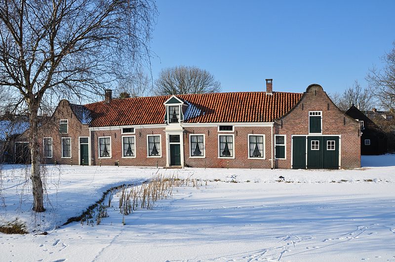
Zoeterwoude, Leiden

Gallery (4)
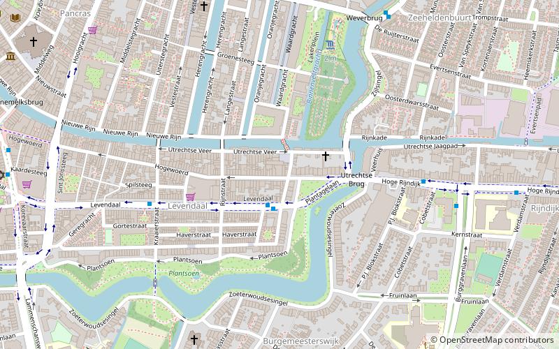
Map

Map
Gallery
Facts and practical information
Zoeterwoude is a municipality in the western Netherlands, in the province of South Holland. The municipality covers 21.96 km2 of which 0.77 km2 is water. It had a population of 8,450 in 2019. ()
Getting there by public transportation
Public transportation stops near this location
- Bus
 Bus
Bus
- Calculate routeDorp 9 min walk
- Calculate routeA4 P+R 13 min walk
Day trips


Frequently Asked Questions (FAQ)
How to get to Zoeterwoude by public transport?
The nearest stations to Zoeterwoude:
Bus
Bus
- Dorp • Lines: 400 (9 min walk)
- A4 P+R • Lines: 400 (13 min walk)