Waterpoortje, Maastricht
Map
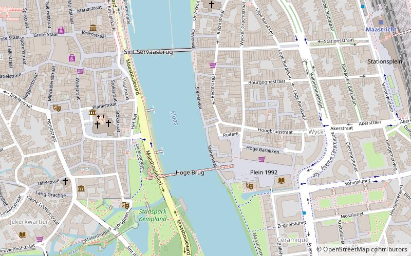
Map

Facts and practical information
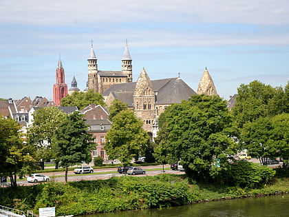
The Wycker Waterpoort, also called Waterpoortje, formerly also Simon Mertenspoort, Kolenpoort or Batpoort, is an originally medieval water gate in the Dutch city of Maastricht. The gate is located on the Maaskade in the Wyck district, at the place where the little street Waterpoort opens onto the Maas. The gate has been a national monument since 1966.
Coordinates: 50°50'51"N, 5°41'53"E
Address
Maastricht
ContactAdd
Social media
Add
Day trips
Waterpoortje – popular in the area (distance from the attraction)
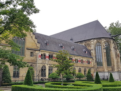
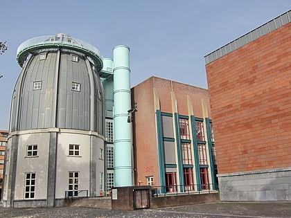
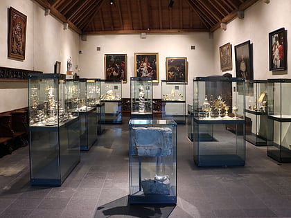
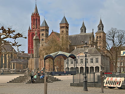
Nearby attractions include: Kruisherenhotel Maastricht, Bonnefantenmuseum, De Schatkamer, Basilica of Saint Servatius.
Frequently Asked Questions (FAQ)
Which popular attractions are close to Waterpoortje?
Nearby attractions include Hoge Brug, Maastricht (3 min walk), Sint Servaasbrug, Maastricht (5 min walk), City Library, Maastricht (5 min walk), Basilica of Our Lady, Maastricht (5 min walk).
How to get to Waterpoortje by public transport?
The nearest stations to Waterpoortje:
Bus
Train
Bus
- Wilhelminasingel • Lines: 1, 2, 3, 350, 4, 5, 57, 6, 650, 659, 7, 78, 8, 9 (6 min walk)
- Centre Céramique • Lines: 1, 350, 5, 57, 78, 9 (6 min walk)
Train
- Maastricht (10 min walk)
- Maastricht Randwyck (28 min walk)

