Waddinxveen

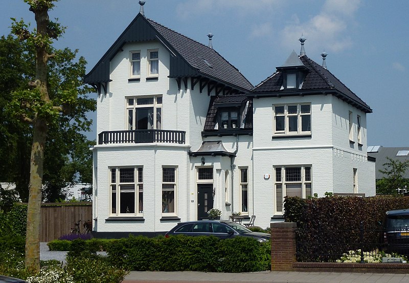
Gallery (4)
Map

Map
Gallery
Facts and practical information
Waddinxveen is a town and municipality along the Gouwe river in the western Netherlands in the province of South Holland near Gouda. The municipality had a population of 28,316 in 2019 and covers an area of 29.40 km2 of which 1.63 km2 is water. ()
Day trips