Richel, Wadden Sea

Map
Facts and practical information
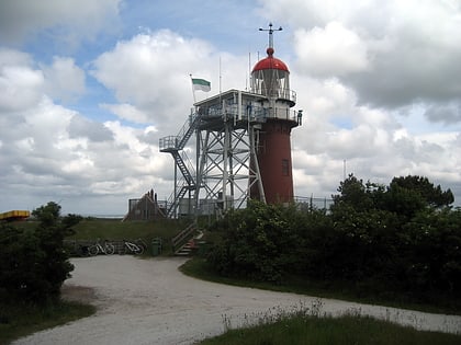
Richel, or rather De Richel, is a permanently dry sandbank in the Wadden Sea, in the gap between the Dutch islands of Vlieland and Terschelling. It is located about 1 kilometer east of the northernmost point of Vlieland and is administered by the municipality of Vlieland. The sandbank has an average surface area of 116 hectares. It is completely flooded only during extremely high tides. ()
Address
Wadden Sea
ContactAdd
Social media
Add
Day trips
Richel – popular in the area (distance from the attraction)
Nearby attractions include: Museum 't Behouden Huys, Vuurduin, Brandaris, Zuidwal volcano.


