Sarphatistraat, Amsterdam
Map
Map

Facts and practical information
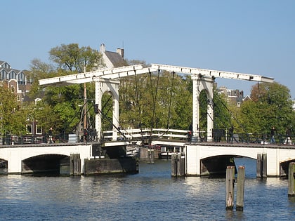
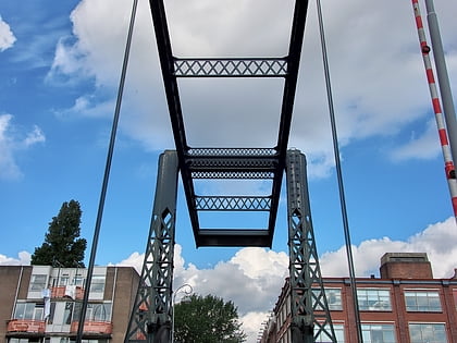
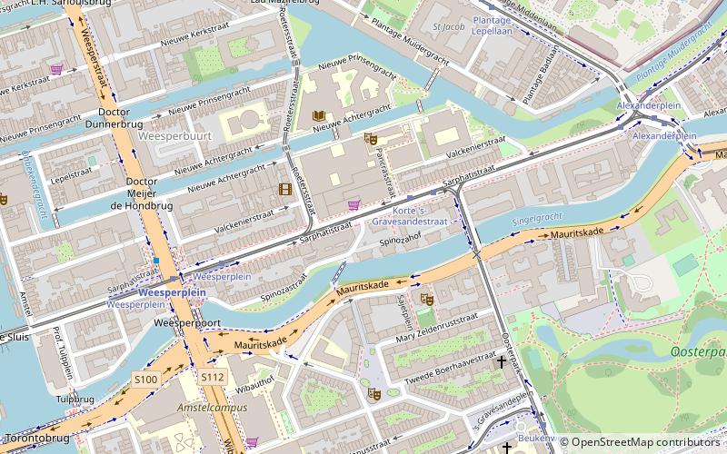
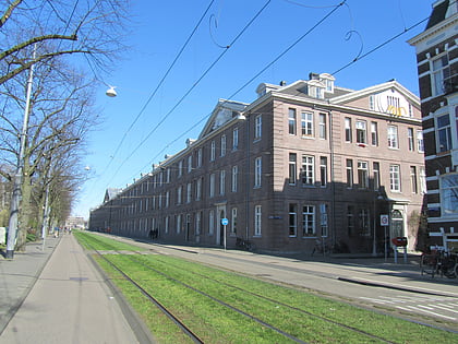
The Sarphatistraat is a street in the center of Amsterdam between Frederiksplein and Oostenburgergracht at the Cruquiuskade. The street crosses the Amstel and forms an almost 2 kilometres long connection between the southern part of the Grachtengordel and the Oostelijke Eilanden. ()
Address
Stadsdeel Centrum (Weesperbuurt en Plantage)Amsterdam
Contact
+31 20 427 8080
Social media
Add
Day trips
Sarphatistraat – popular in the area (distance from the attraction)
Nearby attractions include: Hermitage Amsterdam, Tropenmuseum, Artis, Hortus Botanicus.
Frequently Asked Questions (FAQ)
Which popular attractions are close to Sarphatistraat?
Nearby attractions include Nieuwe Achtergracht, Amsterdam (4 min walk), Plantage Muidergracht, Amsterdam (4 min walk), Badhuistheater, Amsterdam (5 min walk), Oranje-Nassau Kazerne, Amsterdam (7 min walk).
How to get to Sarphatistraat by public transport?
The nearest stations to Sarphatistraat:
Tram
Metro
Bus
Train
Ferry
Tram
- Korte 's-Gravesandestraat • Lines: 1, 19, 7 (3 min walk)
- Weesperplein • Lines: 1, 19, 7 (5 min walk)
Metro
- Weesperplein • Lines: 51, 53, 54 (6 min walk)
- Waterlooplein • Lines: 51, 53, 54 (13 min walk)
Bus
- Weesperplein • Lines: 246 (6 min walk)
- Plantage Lepellaan • Lines: N87 (7 min walk)
Train
- Amsterdam Muiderpoort (21 min walk)
- Amsterdam Central Station (33 min walk)
Ferry
- Centraal Station • Lines: F2 (32 min walk)
 Metro / Trams


