Prinses Irenebuurt, Amsterdam

Gallery (1)
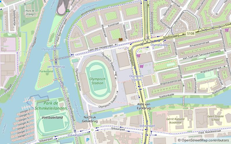
Map
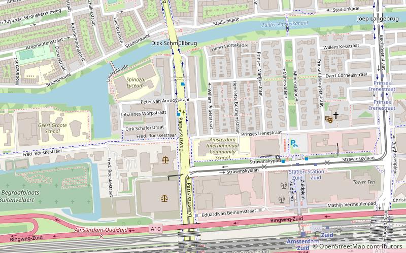
Map
Facts and practical information
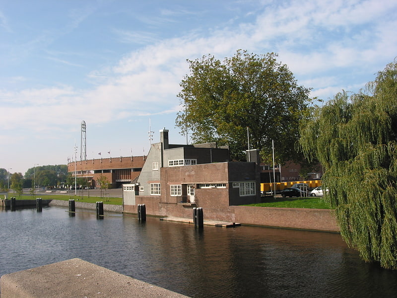
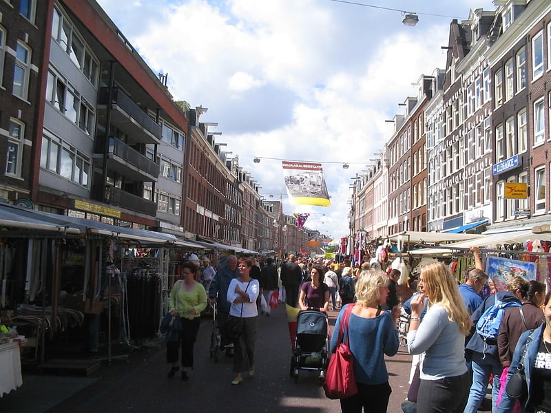
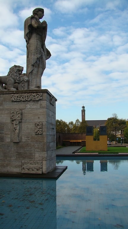
Prinses Irenebuurt is a neighborhood of Amsterdam, Netherlands. ()
Address
Stadsdeel Zuid (Station-Zuid WTC)Amsterdam
ContactAdd
Social media
Add
Getting there by public transportation
Public transportation stops near this location
- Metro
- Bus
- Tram
- Train
 Metro
Metro
- Calculate routePrinses Irenelaan 2 min walk
- Calculate routeStation Zuid 5 min walk
- Calculate routeStation Zuid 6 min walk
- Calculate routeParnassusweg 7 min walk
- Calculate routePrinses Irenestraat 9 min walk
- Calculate routeOlympiaplein 9 min walk
- Calculate routeAmsterdam Zuid 7 min walk
- Calculate routeAmsterdam RAI 25 min walk
- Calculate routeAmsteltrein 30 min walk
- Calculate routeZuid 7 min walk
- Calculate routeAmstelveenseweg 14 min walk
- Calculate routeStation RAI 23 min walk
- Calculate routeEuropaplein 24 min walk
Maps Metro / Trams
Metro / TramsDay trips


Frequently Asked Questions (FAQ)
Which popular attractions are close to Prinses Irenebuurt?
Nearby attractions include World Trade Center, Amsterdam (6 min walk), Zuidas, Amsterdam (9 min walk), Apollobuurt, Amsterdam (13 min walk), Bilderdijk Museum, Amsterdam (13 min walk).
How to get to Prinses Irenebuurt by public transport?
The nearest stations to Prinses Irenebuurt:
Bus
Tram
Train
Metro
Bus
- Prinses Irenelaan • Lines: 15 (2 min walk)
- Station Zuid • Lines: 15, 341, 346 (5 min walk)
Tram
- Station Zuid • Lines: 25, 5 (6 min walk)
- Parnassusweg • Lines: 25, 5 (7 min walk)
Train
- Amsterdam Zuid (7 min walk)
- Amsterdam RAI (25 min walk)
Metro
- Zuid • Lines: 50, 51, 52 (7 min walk)
- Amstelveenseweg • Lines: 50, 51 (14 min walk)