Prins Hendrikkade, Amsterdam
Map
Gallery
Facts and practical information
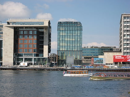
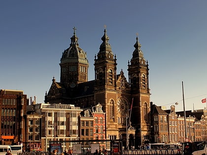
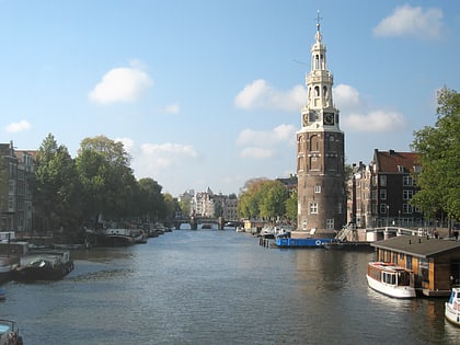
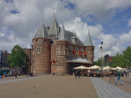
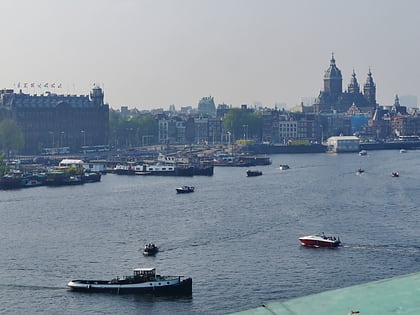
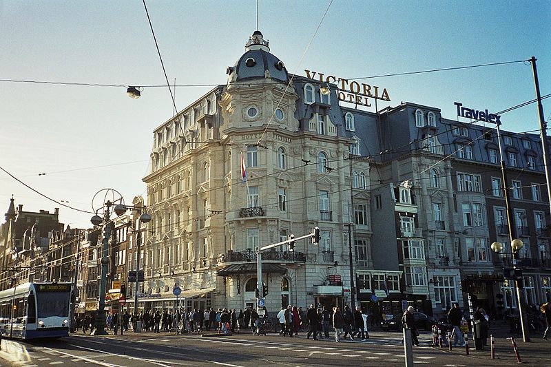
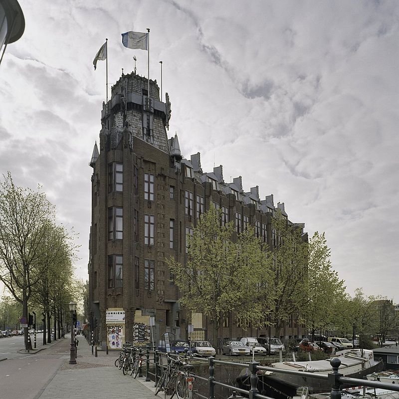
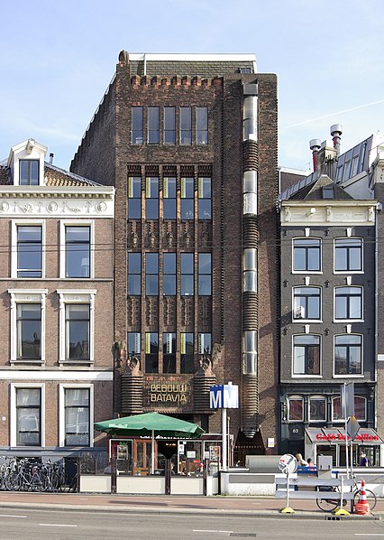
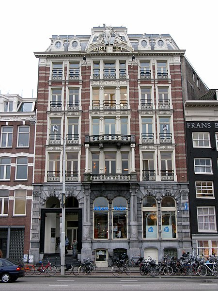
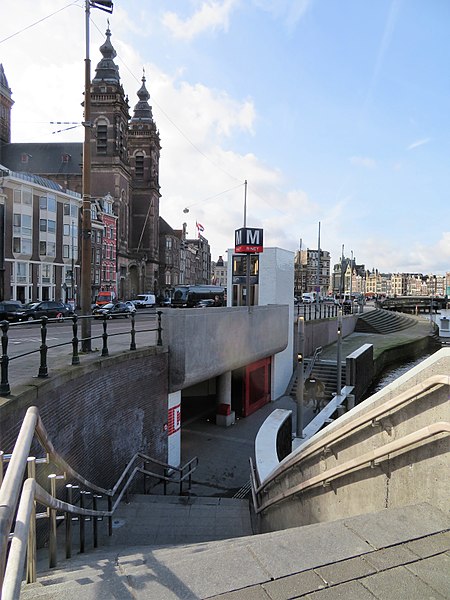
Prins Hendrikkade is a major street in the centre of Amsterdam. It passes Amsterdam Central Station, intersects the Damrak at the mouth of the Amstel river, and forms the southern end of the IJtunnel across the IJ bay. The street formed the northern edge and outer harbour of the city until the 19th century. It was named after Prince Henry of the Netherlands, youngest son of King William II, following Henry's death in 1879. ()
Address
Stadsdeel Centrum (Nieuwmarkt en Lastage)Amsterdam
ContactAdd
Social media
Add
Day trips
Prins Hendrikkade – popular in the area (distance from the attraction)
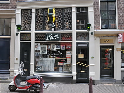
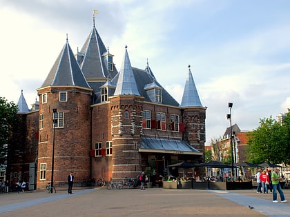
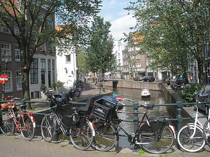
Nearby attractions include: NEMO Museum, Café 't Mandje, Oudeschans, Rechtboomssloot.
Frequently Asked Questions (FAQ)
Which popular attractions are close to Prins Hendrikkade?
Nearby attractions include De Appel, Amsterdam (1 min walk), Lastage, Amsterdam (3 min walk), Scheepvaarthuis, Amsterdam (3 min walk), Waalseilandsgracht, Amsterdam (3 min walk).
How to get to Prins Hendrikkade by public transport?
The nearest stations to Prins Hendrikkade:
Bus
Metro
Tram
Ferry
Train
Bus
- Prins Hendrikkade • Lines: 22, 305, 306, 314, 316, 391, 394, 43, N01, N04, N14, N86, N91, N92, N93, N94 (7 min walk)
- IJ tunnel • Lines: 305, 306, 314, 316, 391, 394, N91, N93 (5 min walk)
Metro
- Nieuwmarkt • Lines: 51, 53, 54 (7 min walk)
- Centraal Station • Lines: 51, 52, 53, 54 (10 min walk)
Tram
- Centraal Station • Lines: 12, 13, 14, 17, 2, 24, 26, 4 (10 min walk)
Ferry
- Centraal Station • Lines: F2 (10 min walk)
- IJplein • Lines: F2 (15 min walk)
Train
- Amsterdam Central Station (12 min walk)
- Amsterdam Muiderpoort (36 min walk)



 Metro / Trams
