Barteljorisstraat, Haarlem
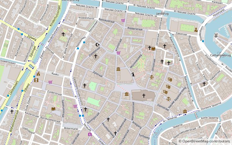
Map
Facts and practical information
The Barteljorisstraat is a shopping street in Haarlem that connects the Grote Markt to the Kruisstraat. ()
Address
Oude Stad (Centrum)Haarlem
ContactAdd
Social media
Add
Getting there by public transportation
Public transportation stops near this location
- Bus
- Train
 Bus
Bus
- Calculate routeNassaulaan 4 min walk
- Calculate routeCentrum/Verwulft 5 min walk
- Calculate routeRaaksbrug 8 min walk
- Calculate routeHaarlem 12 min walk
Day trips


Frequently Asked Questions (FAQ)
Which popular attractions are close to Barteljorisstraat?
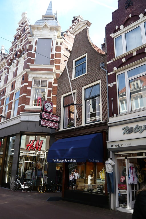
Nearby attractions include Ten Boom Museum, Haarlem (1 min walk), Zijlstraat, Haarlem (1 min walk), Grote Markt, Haarlem (2 min walk), City Hall, Haarlem (2 min walk).
How to get to Barteljorisstraat by public transport?
The nearest stations to Barteljorisstraat:
Bus
Train
Bus
- Nassaulaan • Lines: 2, 3, 568, 73 (4 min walk)
- Centrum/Verwulft • Lines: 2, 3, 568, 73 (5 min walk)
Train
- Haarlem (12 min walk)