Sagenbuurt, Rotterdam
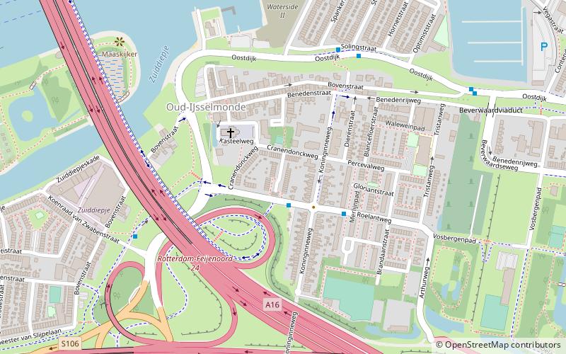
Map
Facts and practical information
Sagenbuurt is a neighborhood of Rotterdam, Netherlands. ()
Address
IJsselmonde (Oud-IJsselmonde)Rotterdam
ContactAdd
Social media
Add
Getting there by public transportation
Public transportation stops near this location
- Bus
- Tram
- Ferry
 Bus
Bus
- Calculate routeVan Hoochstratenweg 1 min walk
- Calculate routeRoelantweg 3 min walk
- Calculate routeIJsselmondsehoofd 5 min walk
- Calculate routeAdriaan Volkerlaan 15 min walk
- Calculate routePrinsenplein 17 min walk
- Calculate routeDwarsdijk 17 min walk
- Calculate routeBeverwaardseweg 20 min walk
- Calculate routeKrimpen aan den IJssel, Stormpolder 28 min walk
Day trips


Frequently Asked Questions (FAQ)
Which popular attractions are close to Sagenbuurt?
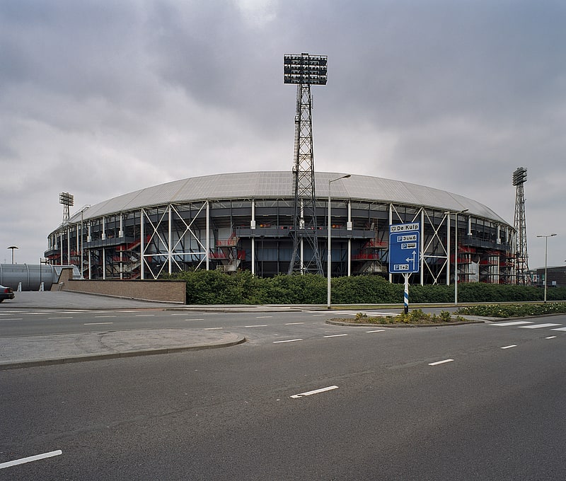
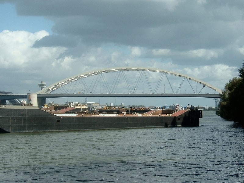
Nearby attractions include IJsselmonde, Rotterdam (1 min walk), Oud-IJsselmonde, Rotterdam (4 min walk), Van Brienenoord Bridge, Rotterdam (7 min walk), Zomerland, Rotterdam (13 min walk).
How to get to Sagenbuurt by public transport?
The nearest stations to Sagenbuurt:
Bus
Tram
Ferry
Bus
- Van Hoochstratenweg • Lines: 183, 283, 83 (1 min walk)
- Roelantweg • Lines: 140, 183, 283, 83 (3 min walk)
Tram
- Adriaan Volkerlaan • Lines: 12, 23 (15 min walk)
- Prinsenplein • Lines: 12, 23 (17 min walk)
Ferry
- Krimpen aan den IJssel, Stormpolder • Lines: 20, 201 (28 min walk)