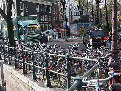
Negen Straatjes, Amsterdam
Map
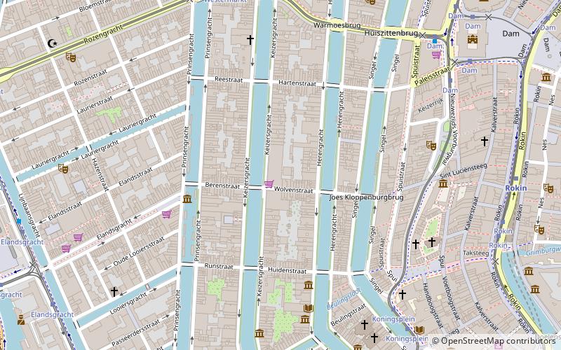
Map

Facts and practical information
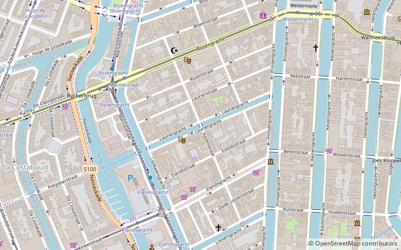
De Negen Straatjes is a neighbourhood of Amsterdam, Netherlands located in the Grachtengordel, a UNESCO World Heritage Site. ()
Address
Stadsdeel Centrum (Grachtengordel-West)Amsterdam
ContactAdd
Social media
Add
Day trips
Negen Straatjes – popular in the area (distance from the attraction)
Nearby attractions include: Huis Marseille, Bijbels Museum, Het Grachtenhuis, Prinsengracht.
Frequently Asked Questions (FAQ)
Which popular attractions are close to Negen Straatjes?
Nearby attractions include Netherlands Media Art Institute, Amsterdam (2 min walk), Felix Meritis, Amsterdam (3 min walk), Schouwburg of Van Campen, Amsterdam (3 min walk), Houseboat Museum, Amsterdam (4 min walk).
How to get to Negen Straatjes by public transport?
The nearest stations to Negen Straatjes:
Bus
Tram
Metro
Train
Ferry
Bus
- Westermarkt • Lines: N82, N83, N84, N94 (7 min walk)
- Rokin • Lines: N85, N87, N89, N91 (8 min walk)
Tram
- Koningsplein • Lines: 12, 2 (7 min walk)
- Westermarkt • Lines: 13, 17 (7 min walk)
Metro
- Rokin • Lines: 52 (8 min walk)
- Nieuwmarkt • Lines: 51, 53, 54 (17 min walk)
Train
- Amsterdam Central Station (22 min walk)
Ferry
- Centraal Station • Lines: F2 (26 min walk)
- IJplein • Lines: F2 (32 min walk)

 Metro / Trams


