Dekkersduin, The Hague
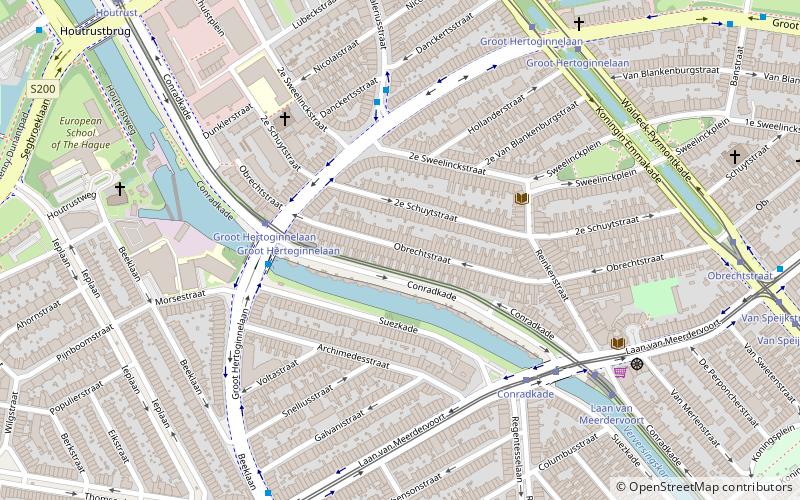
Map
Facts and practical information
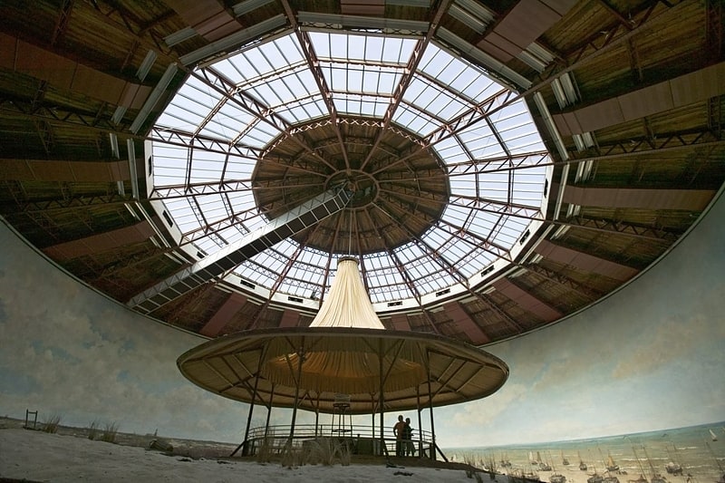
Dekkersduin is a former dune in The Hague, Netherlands. The dune existed in the 19th century at the current location of the district Duinoord, west of the current Peace Palace and was located roughly 2 kilometers from the sea. The dune was popular amongst landscape painters, such as Jacob Maris and Jan Hendrik Weissenbruch, because it offered a good outlook to the area to produce perspectives. A painting with the same name, Dekkersduin, by Weissenbruch shows the panorama from this dune. ()
Address
Duinoord (Sweelinckplein)The Hague
ContactAdd
Social media
Add
Getting there by public transportation
Public transportation stops near this location
- Bus
- Tram
 Bus
Bus
- Calculate routeGroot Hertoginnelaan 4 min walk
- Calculate routeConradkade 5 min walk
- Calculate routeLaan van Meerdervoort 6 min walk
- Calculate routeConradkade 4 min walk
- Calculate routeValeriusstraat 4 min walk
- Calculate routeGroot Hertoginnelaan 7 min walk
Day trips

Frequently Asked Questions (FAQ)
Which popular attractions are close to Dekkersduin?
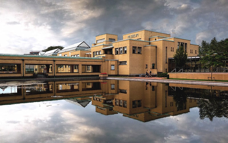
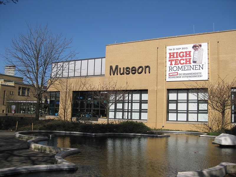
Nearby attractions include Museon, The Hague (12 min walk), Laan van Meerdervoort, The Hague (13 min walk), Kunstmuseum Den Haag, The Hague (13 min walk), Fotomuseum Den Haag / the Hague Museum of Photography, The Hague (15 min walk).
How to get to Dekkersduin by public transport?
The nearest stations to Dekkersduin:
Tram
Bus
Tram
- Groot Hertoginnelaan (4 min walk)
- Conradkade • Lines: 3, 34 (5 min walk)
Bus
- Conradkade • Lines: 21 (4 min walk)
- Valeriusstraat • Lines: 21 (4 min walk)