Oudezijds Voorburgwal, Amsterdam
Map
Gallery
Facts and practical information
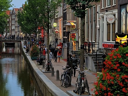
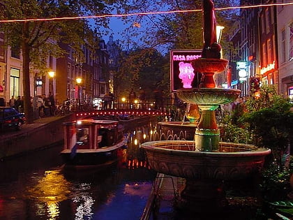
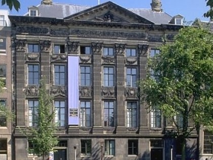
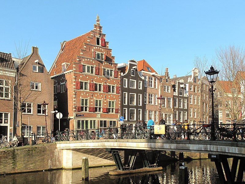
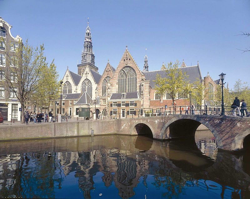
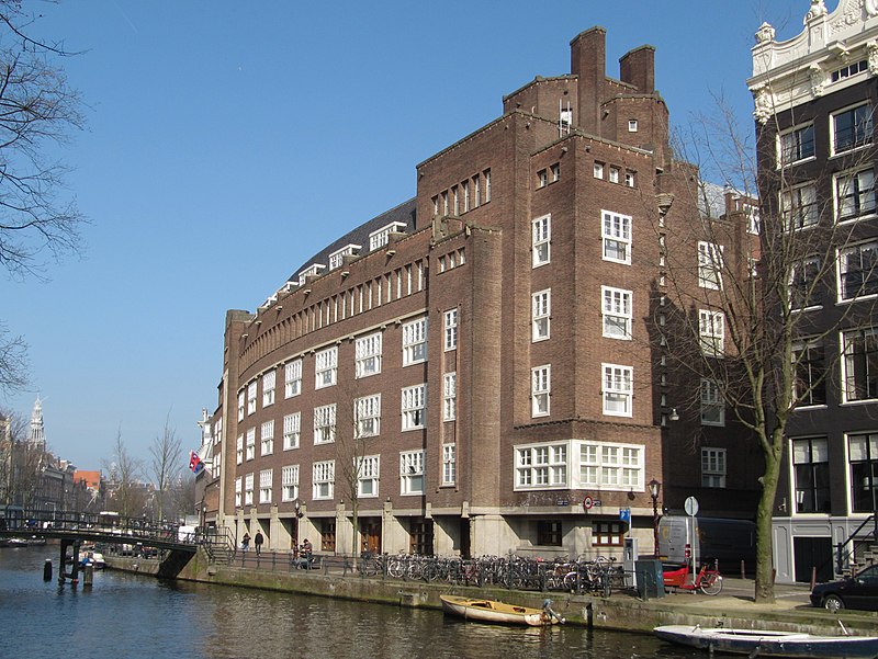
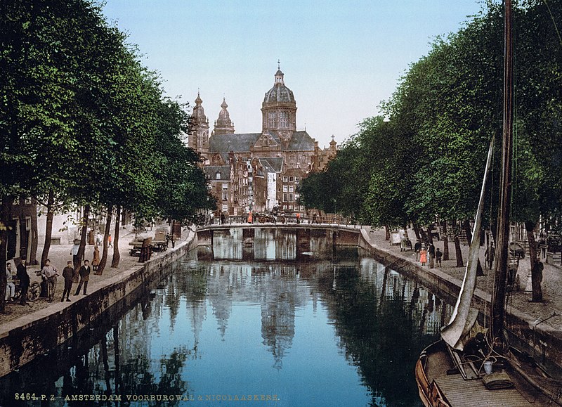
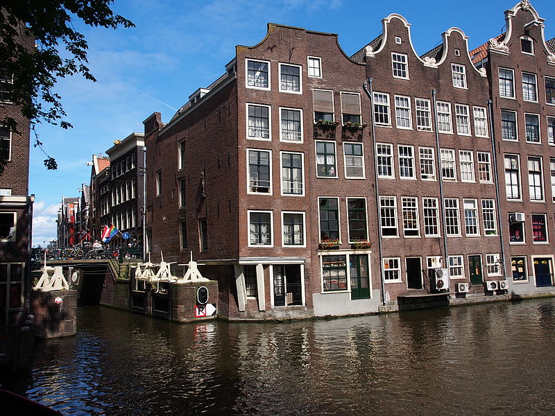
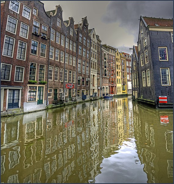
The Oudezijds Voorburgwal, often abbreviated to OZ Voorburgwal, is a street and canal in De Wallen in the center of Amsterdam. The OZ Voorburgwal runs from the Grimburgwal in the south to the Zeedijk in the north, where it changes into the Oudezijds Kolk, which drains into the IJ. ()
Address
Stadsdeel Centrum (De Wallen)Amsterdam
ContactAdd
Social media
Add
Day trips
Oudezijds Voorburgwal – popular in the area (distance from the attraction)
Nearby attractions include: Oude Kerk, Ons' Lieve Heer op Solder, National Monument, Hash.
Frequently Asked Questions (FAQ)
Which popular attractions are close to Oudezijds Voorburgwal?
Nearby attractions include Oudezijds Achterburgwal, Amsterdam (1 min walk), Bethaniënklooster, Amsterdam (2 min walk), De Wallen, Amsterdam (2 min walk), Hash, Amsterdam (2 min walk).
How to get to Oudezijds Voorburgwal by public transport?
The nearest stations to Oudezijds Voorburgwal:
Tram
Metro
Bus
Train
Ferry
Tram
- Dam • Lines: 12, 13, 14, 17, 2, 24, 4 (8 min walk)
- Nieuwezijds Kolk • Lines: 12, 13, 17, 2 (8 min walk)
Metro
- Nieuwmarkt • Lines: 51, 53, 54 (5 min walk)
- Rokin • Lines: 52 (7 min walk)
Bus
- Nieuwezijds Kolk • Lines: N82, N83, N84, N85, N87, N89, N91, N93, N94 (8 min walk)
- Dam • Lines: N82, N83, N84, N85, N86, N87, N89, N91, N93, N94 (8 min walk)
Train
- Amsterdam Central Station (12 min walk)
Ferry
- Centraal Station • Lines: F2 (14 min walk)
- IJplein • Lines: F2 (20 min walk)


 Metro / Trams


