Zuidas, Amsterdam
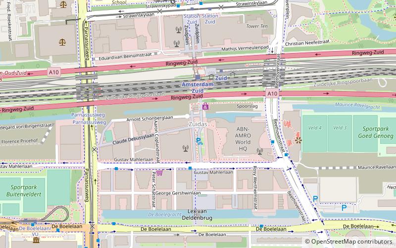
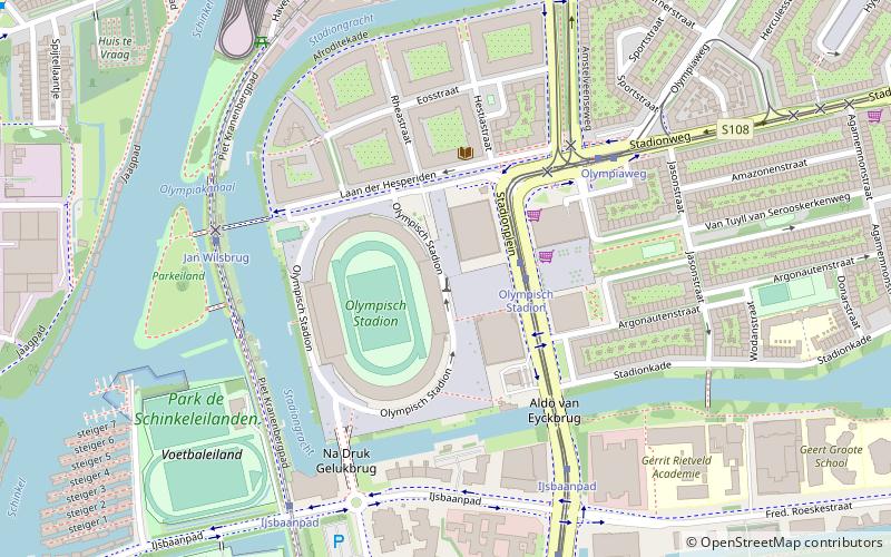
Map
Facts and practical information
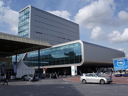
The Zuidas is a rapidly developing business district in the city of Amsterdam in the Netherlands. The Zuidas is also known as the 'Financial Mile'. It lies between the rivers Amstel and Schinkel along the ringway A10. The greatest influences for the development of the Zuidas are La Défense in Paris and Canary Wharf in London. In size it can best be compared with the Noordruimte/Espace Nord in Brussels. ()
Address
Stadsdeel Zuid (Buitenveldert-West)Amsterdam
ContactAdd
Social media
Add
Day trips
Zuidas – popular in the area (distance from the attraction)
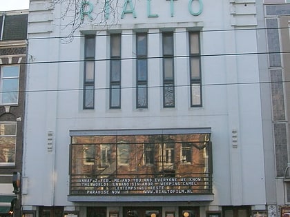
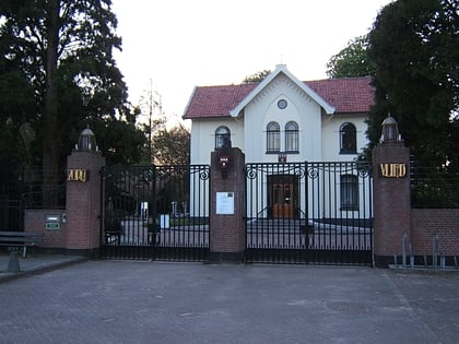
Nearby attractions include: Olympic Stadium, Strand Zuid, Rialto, Zorgvlied Cemetery.
Frequently Asked Questions (FAQ)
Which popular attractions are close to Zuidas?
Nearby attractions include World Trade Center, Amsterdam (4 min walk), Prinses Irenebuurt, Amsterdam (9 min walk), Bilderdijk Museum, Amsterdam (10 min walk), Buitenveldert, Amsterdam (14 min walk).
How to get to Zuidas by public transport?
The nearest stations to Zuidas:
Bus
Train
Metro
Tram
Bus
- Gustav Mahlerplein • Lines: 461 (3 min walk)
- Benjamin Brittenstraat • Lines: 461 (5 min walk)
Train
- Amsterdam Zuid (3 min walk)
- Amsterdam RAI (19 min walk)
Metro
- Zuid • Lines: 50, 51, 52 (3 min walk)
- Amstelveenseweg • Lines: 50, 51 (18 min walk)
Tram
- Parnassusweg • Lines: 25, 5 (6 min walk)
- Station Zuid • Lines: 25, 5 (6 min walk)
 Metro / Trams
