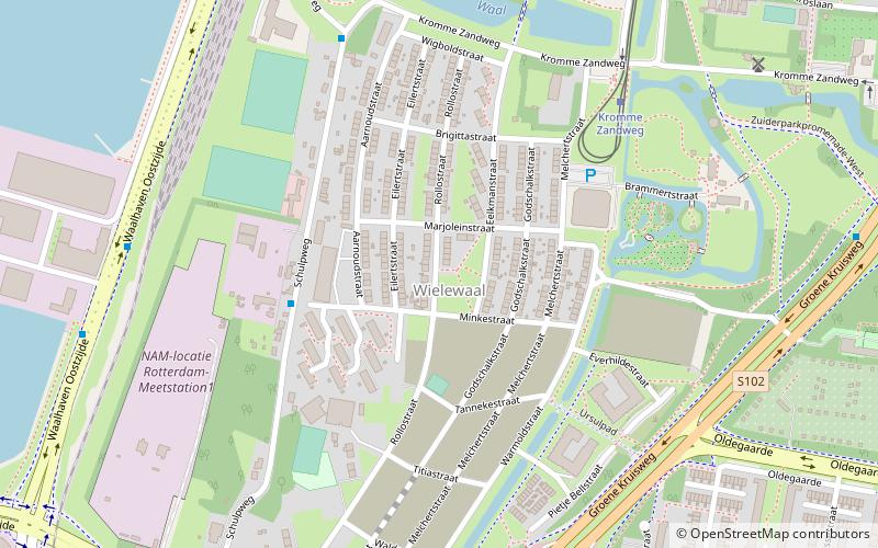
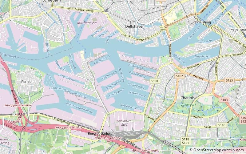
Wielewaal, Rotterdam
Map
Facts and practical information
Wielewaal is a neighborhood of Rotterdam, Netherlands. ()
Address
Charlois (Wielewaal)Rotterdam
ContactAdd
Social media
Add
Getting there by public transportation
Public transportation stops near this location
- Metro
- Bus
- Tram
 Metro
Metro
- Calculate routeMinkestraat 4 min walk
- Calculate routeKromme Zandweg 6 min walk
- Calculate routeOpijnenstraat 8 min walk
- Calculate routeSchulpplein 8 min walk
- Calculate routeKromme Zandweg 6 min walk
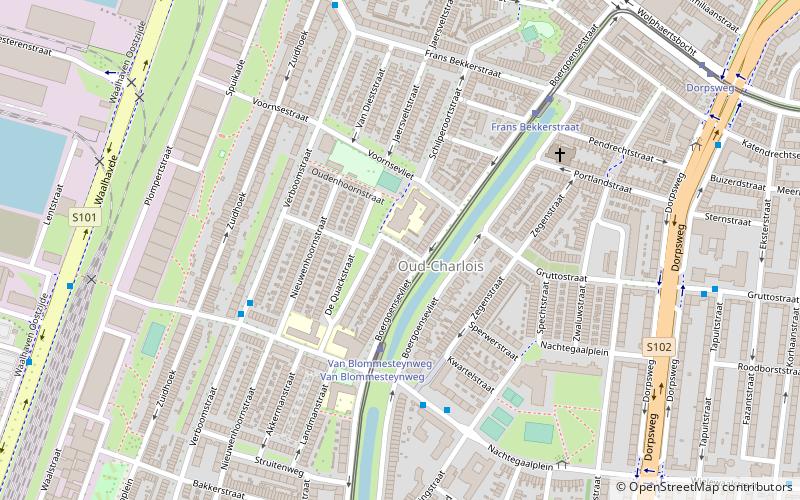
- Calculate routeVan Blommesteynweg 13 min walk
- Calculate routeFrans Bekkerstraat 20 min walk
- Calculate routeSlinge 22 min walk
- Calculate routeZuidplein 32 min walk
Day trips


Frequently Asked Questions (FAQ)
Which popular attractions are close to Wielewaal?
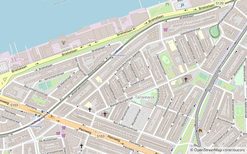
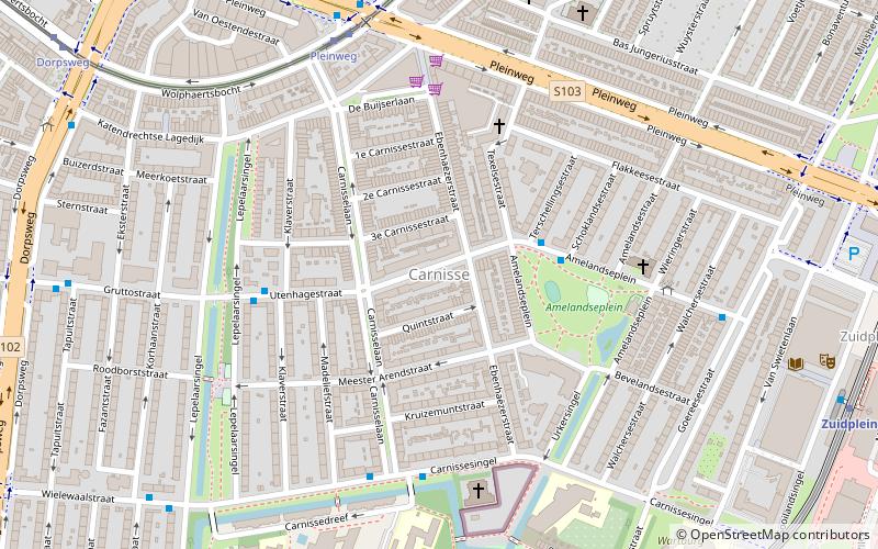
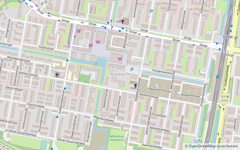
Nearby attractions include De Zandweg, Rotterdam (9 min walk), D'Oliphant, Rotterdam (11 min walk), Oud-Charlois, Rotterdam (16 min walk), Pendrecht, Rotterdam (18 min walk).
How to get to Wielewaal by public transport?
The nearest stations to Wielewaal:
Bus
Tram
Metro
Bus
- Minkestraat • Lines: 567 (4 min walk)
- Kromme Zandweg • Lines: 567 (6 min walk)
Tram
- Kromme Zandweg • Lines: 2 (6 min walk)
- Van Blommesteynweg • Lines: 2 (13 min walk)
Metro
- Slinge • Lines: D, E (22 min walk)
- Zuidplein • Lines: D, E (32 min walk)