Singelgracht, Amsterdam
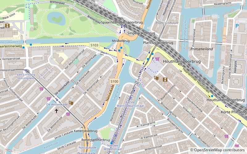
Map
Gallery
Facts and practical information
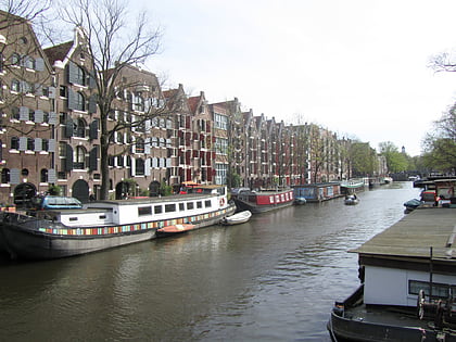
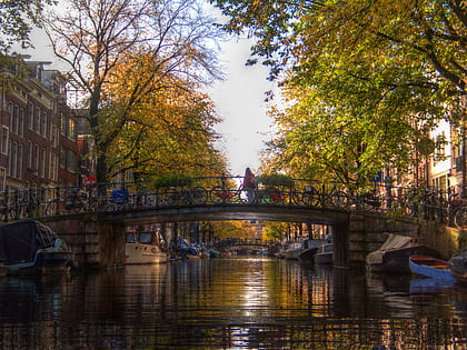
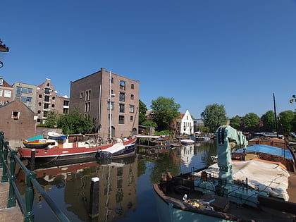
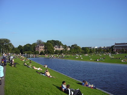
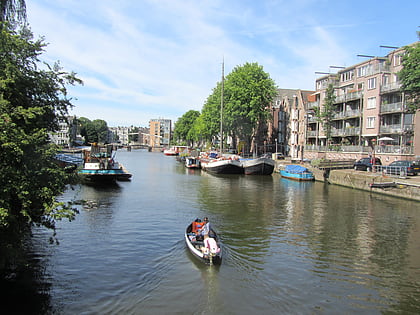
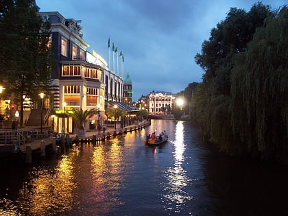
The Singelgracht is the waterway that borders the entire Amsterdam Center and flows along the Nassaukade, Stadhouderskade and Mauritskade. Formerly the canal and the ramparts on the city side formed the outer defenses of the city. ()
Address
Stadsdeel West (Staatsliedenbuurt)Amsterdam
ContactAdd
Social media
Add
Day trips
Singelgracht – popular in the area (distance from the attraction)
Nearby attractions include: Het Schip, Brouwersgracht, Egelantiersgracht, Bickersgracht.
Frequently Asked Questions (FAQ)
Which popular attractions are close to Singelgracht?
Nearby attractions include Palmgracht, Amsterdam (5 min walk), Prinseneilandsgracht, Amsterdam (6 min walk), Eilandsgracht, Amsterdam (6 min walk), Gouden Reael, Amsterdam (8 min walk).
How to get to Singelgracht by public transport?
The nearest stations to Singelgracht:
Tram
Bus
Train
Metro
Ferry
Tram
- Eerste Marnixdwarsstraat • Lines: 5 (2 min walk)
- Nieuwe Willemstraat • Lines: 5 (5 min walk)
Bus
- Nassauplein • Lines: 22, N81 (3 min walk)
- Haarlemmerplein • Lines: 18, 21, 22, N81, N88 (3 min walk)
Train
- Amsterdam Central Station (23 min walk)
Metro
- Centraal Station • Lines: 51, 52, 53, 54 (24 min walk)
- Rokin • Lines: 52 (27 min walk)
Ferry
- Centraal Station • Lines: F2 (26 min walk)
- IJplein • Lines: F2 (29 min walk)
 Metro / Trams