De Loonse en Drunense Duinen National Park, Efteling

Gallery (1)
Map
Map
Facts and practical information
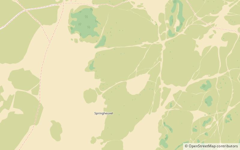
De Loonse en Drunense Duinen National Park is a national park situated in the south of the Netherlands, between the cities of Tilburg, Waalwijk and 's-Hertogenbosch. It has been designated as a national park since 2002. It is 35 km² in area, and located in the municipalities of Loon op Zand, Heusden, and Vught. ()
Local name: Nationaal Park De Loonse en Drunense Duinen Established: 2002 (24 years ago)Area: 15.71 mi²Coordinates: 51°38'52"N, 5°6'53"E
Address
Efteling
ContactAdd
Social media
Add
Day trips


