Fort Sint Pieter, Maastricht
Map
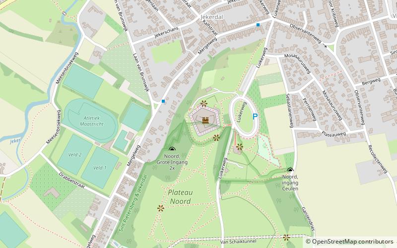
Map

Facts and practical information
Fort Sint Pieter is a fortress that was established in 1701-02 on the northern flank of Sint-Pietersberg in Maastricht. Until 1867 the fort had a military function as part of the fortifications of Maastricht. Currently, the structure is a national monument and a tourist attraction.
To the southwest of the fort was formerly the Great Entrance to the Northern Corridor System, to the southeast the Preacher's Hole, and to the northwest the Ancienne Brasserie quarry.
Coordinates: 50°50'9"N, 5°41'1"E
Day trips
Fort Sint Pieter – popular in the area (distance from the attraction)
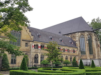
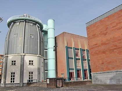
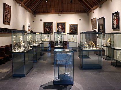
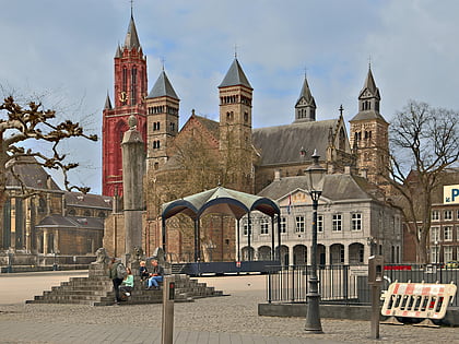
Nearby attractions include: Kruisherenhotel Maastricht, Bonnefantenmuseum, De Schatkamer, Basilica of Saint Servatius.
Frequently Asked Questions (FAQ)
Which popular attractions are close to Fort Sint Pieter?
Nearby attractions include Villapark, Maastricht (10 min walk), Biesland, Maastricht (15 min walk), University College Maastricht, Maastricht (17 min walk), Maastricht Natural History Museum, Maastricht (17 min walk).
How to get to Fort Sint Pieter by public transport?
The nearest stations to Fort Sint Pieter:
Bus
Train
Bus
- Mergelweg/Sportpark • Lines: 12 (3 min walk)
- Sint Pietersberg • Lines: 12 (6 min walk)
Train
- Maastricht (35 min walk)

