Mount Tūtoko, Fiordland National Park
Map

Map

Facts and practical information
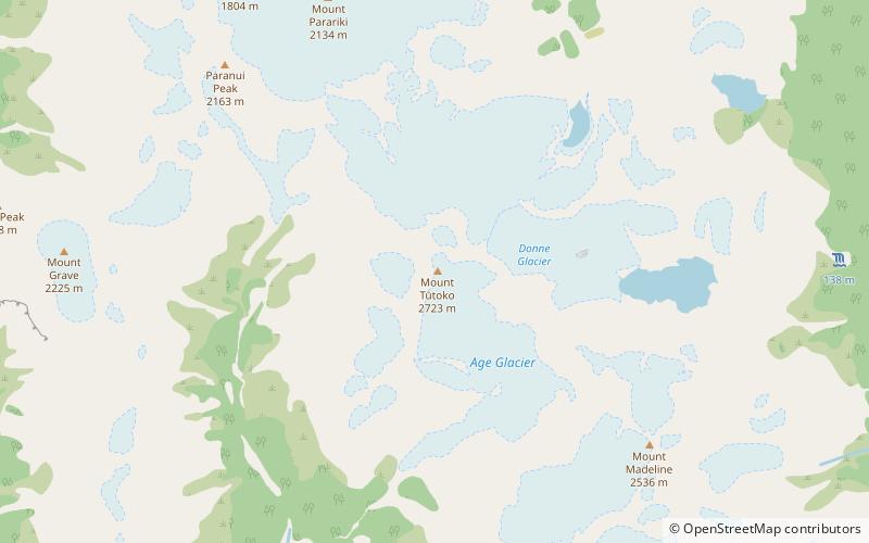
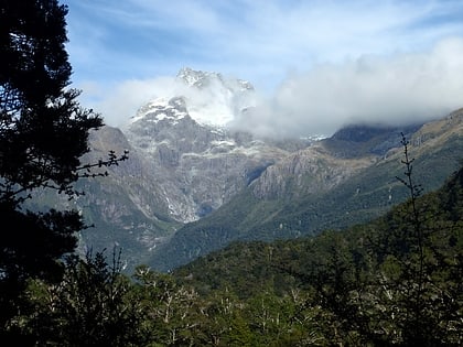
Mount Tūtoko is the highest peak in Fiordland National Park, in southwest New Zealand. It lies between the Hollyford Valley and Milford Sound, 15 kilometres due north of the Homer Tunnel at the northern end of the Darran Mountains. The glacier-covered mountain rises to a height of 2,723 metres and is visible from the Hollyford Track. Two slightly lower summits lie just to the south of the main peak. ()
First ascent: 1924Elevation: 8934 ftProminence: 7188 ftCoordinates: 44°35'41"S, 168°0'43"E
Address
Fiordland National Park
ContactAdd
Social media
Add
Day trips
Mount Tūtoko – popular in the area (distance from the attraction)
Nearby attractions include: Bowen Falls, Darran Mountains.


