Murchison Glacier, Aoraki / Mount Cook National Park

Map
Facts and practical information
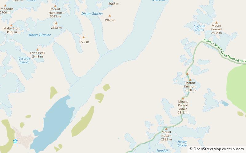
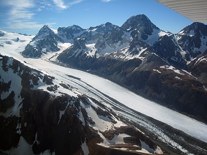
The Murchison Glacier is an 18-kilometre long glacier flowing through Aoraki / Mount Cook National Park in the South Island of New Zealand. Lying to the east of the Malte Brun range and west of the Liebig Range, high in the Southern Alps, it flows from the Tasman Saddle at 2,435 m mostly southwestwards to around 1,110 m. The Murchison River, which takes its meltwater, flows under the larger Tasman Glacier to the south. ()
Address
Aoraki / Mount Cook National Park
ContactAdd
Social media
Add
Day trips
Murchison Glacier – popular in the area (distance from the attraction)
Nearby attractions include: Malte Brun Mountain.
