Wynyard Crossing, Auckland
Map
Gallery
Facts and practical information
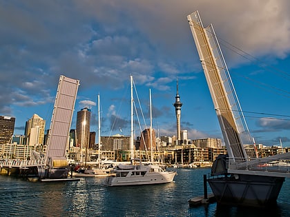
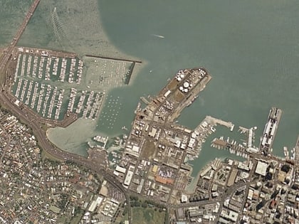
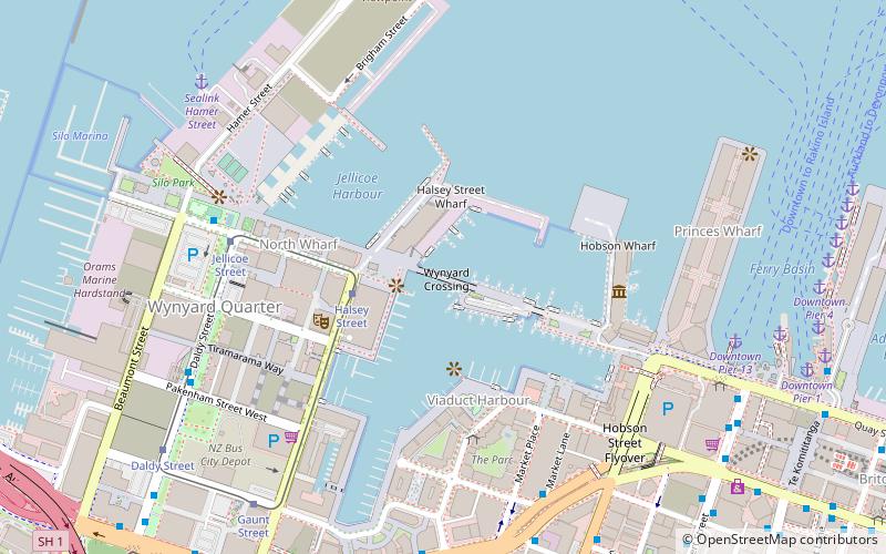
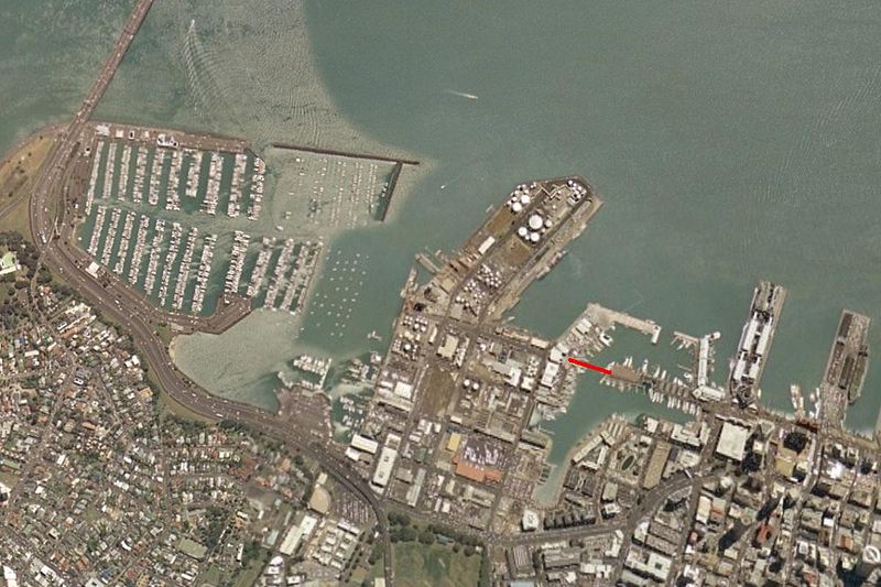
Wynyard Crossing is a modern double bascule pedestrian and cyclists' bridge built in 2011 in Auckland, New Zealand. It connects the redeveloped Wynyard Quarter with Te Wero Island and the existing Viaduct Harbour entertainment district, and thereby, with the wider Auckland waterfront. ()
Coordinates: 36°50'29"S, 174°45'36"E
Address
Central Auckland (Auckland Central Business District)Auckland
ContactAdd
Social media
Add
Day trips
Wynyard Crossing – popular in the area (distance from the attraction)
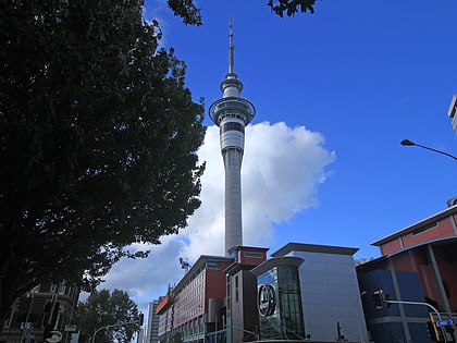
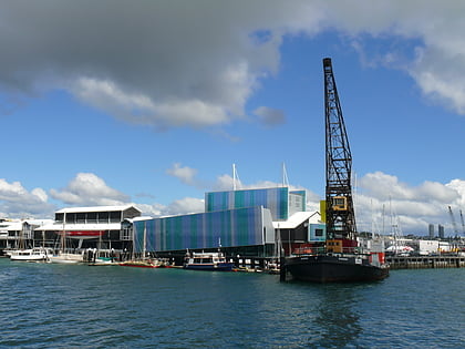
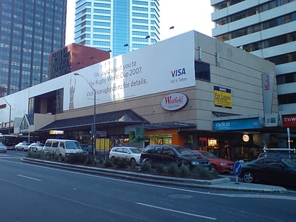
Nearby attractions include: Sky Tower, New Zealand Maritime Museum, Commercial Bay Shopping Centre, Westhaven Marina.
Frequently Asked Questions (FAQ)
Which popular attractions are close to Wynyard Crossing?
Nearby attractions include ANZ Viaduct Events Centre, Auckland (2 min walk), Viaduct Basin, Auckland (4 min walk), New Zealand Maritime Museum, Auckland (5 min walk), Wynyard Quarter, Auckland (6 min walk).
How to get to Wynyard Crossing by public transport?
The nearest stations to Wynyard Crossing:
Tram
Bus
Ferry
Train
Tram
- Halsey Street • Lines: Wynyard Loop (3 min walk)
- Jellicoe Street • Lines: Wynyard Loop (6 min walk)
Bus
- Stop E Lower Albert Street Interchange • Lines: 95B, 95C, 97B, 97R (9 min walk)
- Fanshawe Street / Daldy Street • Lines: 82, Nx2 (12 min walk)
Ferry
- Downtown Pier 14 (9 min walk)
- Sealink Hamer Street (9 min walk)
Train
- Britomart (14 min walk)
- The Strand (31 min walk)
