Lake Rotoiti, Nelson Lakes National Park
Map

Map

Facts and practical information
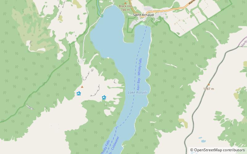
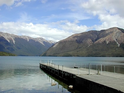
Lake Rotoiti, previously also known as Lake Arthur, is a lake in the Tasman Region of New Zealand. It is a substantial mountain lake within the borders of Nelson Lakes National Park. The lake is fed by the Travers River, water from the lake flows into the Buller River. The lake is surrounded by beech forest and is 82 metres deep. Saint Arnaud is a small community at the northern end of the lake. ()
Alternative names: Maximum depth: 269 ftElevation: 2096 ft a.s.l.Coordinates: 41°49'42"S, 172°50'2"E
Address
Nelson Lakes National Park
ContactAdd
Social media
Add
Day trips
Lake Rotoiti – popular in the area (distance from the attraction)
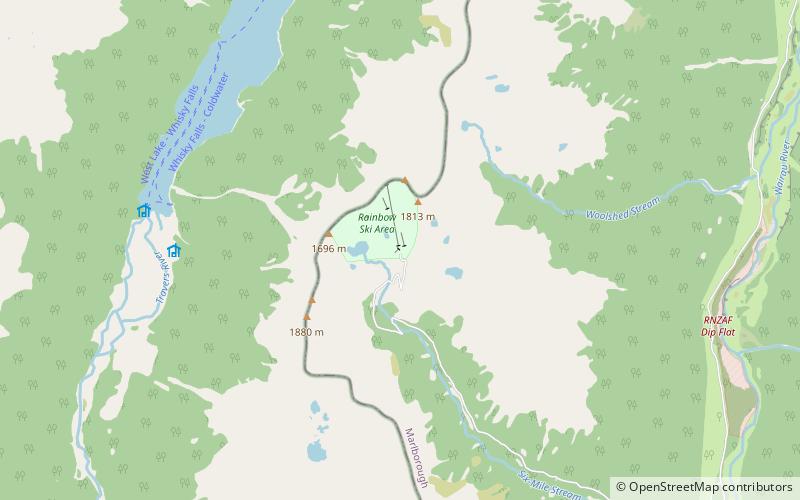
Nearby attractions include: Mount Robert, Rainbow Ski Area.


