Carter Fountain, Wellington
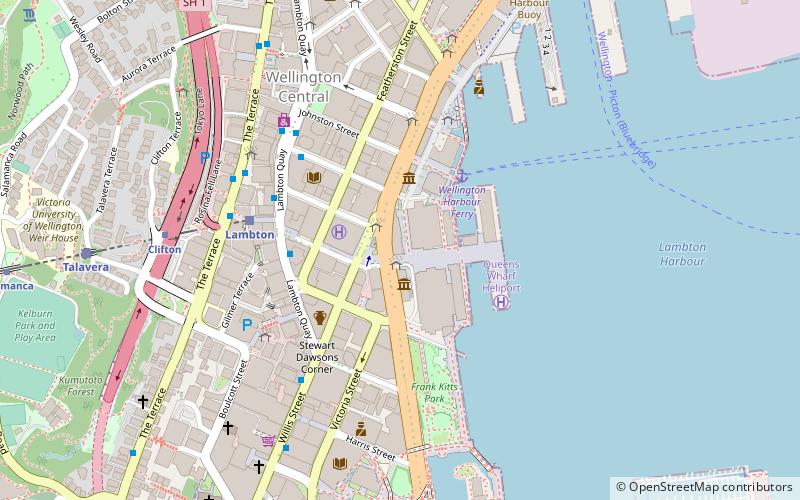
Map
Gallery
Facts and practical information
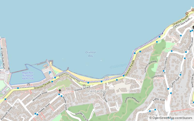
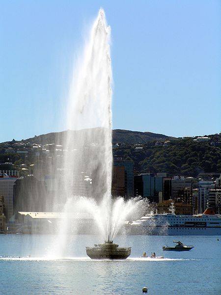
The Carter Fountain is a distinctive feature 150 metres out in Wellington Harbour from Oriental Bay. Installed in 1973, it was named after its donor, Hugh Carter, who drowned only days after the fountain's inauguration. ()
Coordinates: 41°17'23"S, 174°47'38"E
Address
Wellington
ContactAdd
Social media
Add
Day trips
Carter Fountain – popular in the area (distance from the attraction)
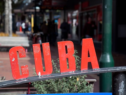
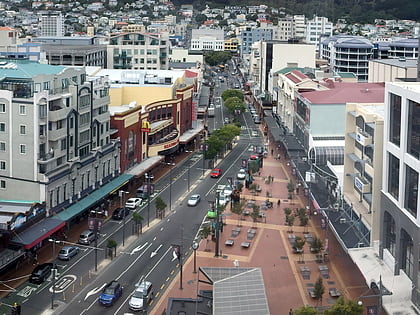
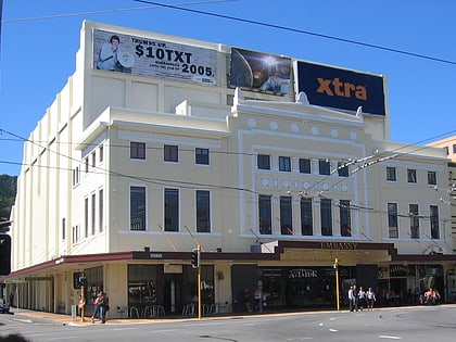
Nearby attractions include: Museum of New Zealand Te Papa Tongarewa, Cuba Street, Courtenay Place, Embassy Theatre.
Frequently Asked Questions (FAQ)
Which popular attractions are close to Carter Fountain?
Nearby attractions include St Gerard's Church and Monastery, Wellington (6 min walk), Waitangi Park, Wellington (13 min walk), BATS Theatre, Wellington (14 min walk), Hannah Playhouse, Wellington (15 min walk).
How to get to Carter Fountain by public transport?
The nearest stations to Carter Fountain:
Ferry
Train
Bus
Ferry
- Wellington Harbour Ferry (23 min walk)
Train
- Wellington Railway Station (27 min walk)
- Lambton (28 min walk)
Bus
- Wellington Station Bus Interchange (29 min walk)
- Molesworth Street – Cathedral • Lines: 14, 91 (33 min walk)


