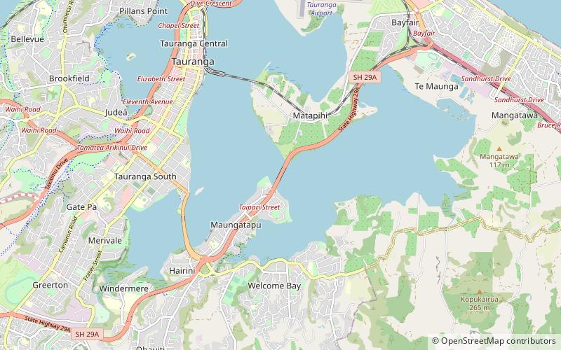
Tauranga Harbour Bridge, Tauranga
Map
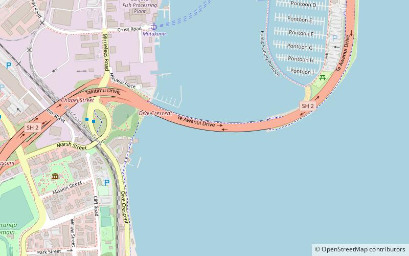
Map

Facts and practical information
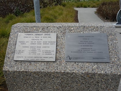
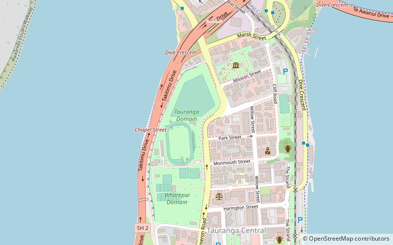
The Tauranga Harbour Bridge refers to two bridges that carry Te Awanui Drive over the Tauranga Harbour. Te Awanui Drive is part of an expressway that connects Tauranga to Mount Maunganui. On the Tauranga side, Te Awanui Drive connects to Takitimu Drive, which crosses the Chapel Street Viaduct before running along the edge of the Waikareao Estuary. On the Mount Maunganui side, Te Awanui Drive connects to Hewletts Road, which runs through an industrial area towards Maunganui Road. ()
Coordinates: 37°40'30"S, 176°10'26"E
Address
Tauranga
ContactAdd
Social media
Add
Day trips
Tauranga Harbour Bridge – popular in the area (distance from the attraction)
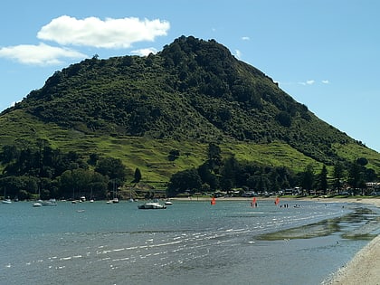
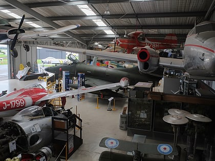
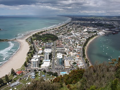
Nearby attractions include: Mount Maunganui Mountain, Classic Flyers Museum, The Elms Te Papa Tauranga, Mount Maunganui.
Frequently Asked Questions (FAQ)
Which popular attractions are close to Tauranga Harbour Bridge?
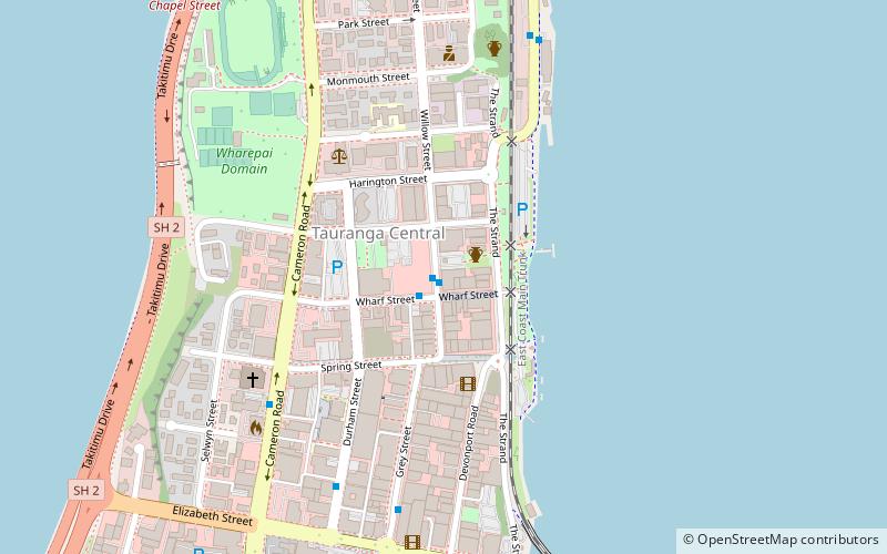
Nearby attractions include The Elms Te Papa Tauranga, Tauranga (9 min walk), Tauranga Domain, Tauranga (13 min walk), Tauranga Art Gallery, Tauranga (16 min walk).
