Mount Taupiri

Map
Facts and practical information
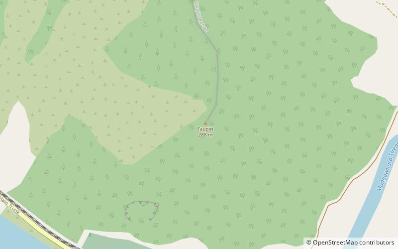
Mount Taupiri is a hill at the southern end of the Taupiri Range in the Waikato. The highest peak in the range, it rises to 288 metres above sea level and overlooks Taupiri township immediately to its south. It is separated from the Hākarimata Range to the south by the Taupiri Gorge, through which the Waikato River flows from the Waikato Basin to the Lower Waikato. The Mangawara Stream joins the Waikato River at the base of the hill. ()
Location
Waikato
ContactAdd
Social media
Add
Day trips
Mount Taupiri – popular in the area (distance from the attraction)
Nearby attractions include: Lake Hakanoa, Hakarimata Range.

